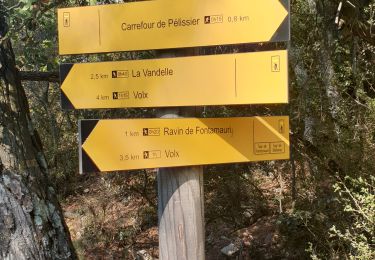
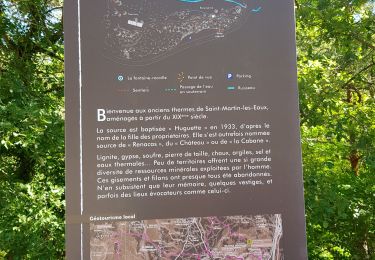
Tocht Mountainbike Manosque - 7372589-Osco manosco 35 km - Photo
 Alain Derrives
Alain Derrives

Gebruiker

© OpenStreetMap contributors
Lengte
Lengte
26 km
Max. hoogte
Max. hoogte
772 m
Positief hoogteverschil
955 m
Km-Effort
Km-Effort  
39 km
Min. hoogte
Min. hoogte
382 m
Negatief hoogteverschil
955 m
Boucle
Boucle
Ja
Datum van aanmaak :
2021-03-15 18:09:03.393
Laatste wijziging :
2024-10-23 07:59:55.34

(0 Bericht)

Mountainbike
Mountainbike
2h41
Moeilijkheid : Moeilijk

Scan deze QR-code om de tocht te openen in de SityTrail-applicatie

Gratisgps-wandelapplicatie

Logo SityTrail SityTrail

IGN / Geografische instituten

SityTrail uit de App Store downloaden SityTrail uit Google Play downloaden

Logo SityTrail SityTrail World

De wereld gaat voor u open

SityTrail uit de App Store downloaden SityTrail uit Google Play downloaden SityTrail op Huawei AppGallery downloaden

Over ons

Tocht Mountainbike van 26 km beschikbaar op Provence-Alpes-Côte d'Azur, Alpes-de-Haute-Provence, Manosque. Deze tocht wordt voorgesteld door Alain Derrives.

Hoogteprofiel

Plaatsbepaling

Land:
France
Regio :
Provence-Alpes-Côte d'Azur
Departement/Provincie :
Alpes-de-Haute-Provence
Gemeente :
Manosque
Locatie:
Unknown
Vertrek:(UTM)
723222 ; 4857959 (31T) N.

Wandeltochten in de omgeving

Tocht Stappen Manosque - Le Val des Chats, avant le col de la Mort d'Imbert. - Photo
Stappen
liocol

Stappen

Gemakkelijk
(2)
Manosque, Provence-Alpes-Côte d'Azur, Alpes-de-Haute-Provence, France
4,7 km | 6,5 km-effort
1h 23min
Ja
Tocht Mountainbike Volx - Volx/Montaigu/Bellevue/La Garde - Photo
Mountainbike
remizzi

Mountainbike

Medium
(1)
Volx, Provence-Alpes-Côte d'Azur, Alpes-de-Haute-Provence, France
16,2 km | 24 km-effort
1h 33min
Ja
Tocht Stappen Manosque - Le tour de la borie '' pain de sucre ''  - Photo
Stappen
PITOUSSAINT

Stappen

Gemakkelijk
(1)
Manosque, Provence-Alpes-Côte d'Azur, Alpes-de-Haute-Provence, France
5,1 km | 7,4 km-effort
1h 43min
Ja
Tocht Stappen Manosque - Quartier des Espels, départ Piscine. - Photo
Stappen
liocol

Stappen

Gemakkelijk
(1)
Manosque, Provence-Alpes-Côte d'Azur, Alpes-de-Haute-Provence, France
4,8 km | 7,3 km-effort
1h 50min
Ja
Tocht Stappen Manosque - MANOSQUE VOLX PAR LES COLLINES O S - Photo
Stappen
RobinMicheline

Stappen

Moeilijk
Manosque, Provence-Alpes-Côte d'Azur, Alpes-de-Haute-Provence, France
17,7 km | 24 km-effort
4h 15min
Ja
Tocht Trail Volx - volx - Photo
Trail
francislassauce

Trail

Moeilijk
Volx, Provence-Alpes-Côte d'Azur, Alpes-de-Haute-Provence, France
9,2 km | 14,7 km-effort
1h 43min
Ja
Tocht Stappen Manosque - 1Les speels, le relais, le pain de sucre. Depart Crématoriome. - Photo
Stappen
liocol

Stappen

Medium
(1)
Manosque, Provence-Alpes-Côte d'Azur, Alpes-de-Haute-Provence, France
6,1 km | 9,7 km-effort
2h 4min
Ja
Tocht Stappen Saint-Martin-les-Eaux - 1Domaine de Bourne - Photo
Stappen
liocol

Stappen

Medium
Saint-Martin-les-Eaux, Provence-Alpes-Côte d'Azur, Alpes-de-Haute-Provence, France
5,6 km | 8,3 km-effort
2h 2min
Ja
Tocht Stappen Manosque - 1Gaude, boucle de Montaigu.  - Photo
Stappen
liocol

Stappen

Medium
Manosque, Provence-Alpes-Côte d'Azur, Alpes-de-Haute-Provence, France
6,6 km | 10,2 km-effort
2h 7min
Ja


Sluiten
Mijn abonnementen