


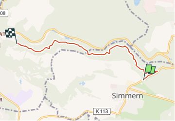

6,3 km | 8,2 km-effort


Tous les sentiers balisés d’Europe GUIDE+


Gratisgps-wandelapplicatie
 SityTrail
IGN / Geografische instituten
SityTrail World
De wereld gaat voor u open
Tocht Te voet van 5 km beschikbaar op Rijnland-Palts, Westerwaldkreis, Simmern. Deze tocht wordt voorgesteld door SityTrail - itinéraires balisés pédestres.
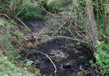
Von Simmern (Friedhof) nach Vallendar (Schönstatt) am Hand des Hillscheider Bachtales über den Bollert und Schleifstein

Te voet
Te voet
Te voet
Te voet
Te voet
Te voet
Te voet

Te voet
Te voet