


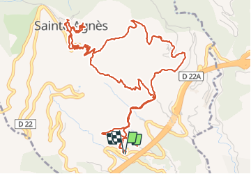

8,1 km | 14,4 km-effort

Gebruiker


Gratisgps-wandelapplicatie
 SityTrail
IGN / Geografische instituten
SityTrail World
De wereld gaat voor u open
Tocht Stappen van 9,3 km beschikbaar op Provence-Alpes-Côte d'Azur, Alpes-Maritimes, Sainte-Agnès. Deze tocht wordt voorgesteld door GrouGary.
Sentier des collines en travaux momentanément. Belle boucle mais dommage pour le bruit de l'autoroute.
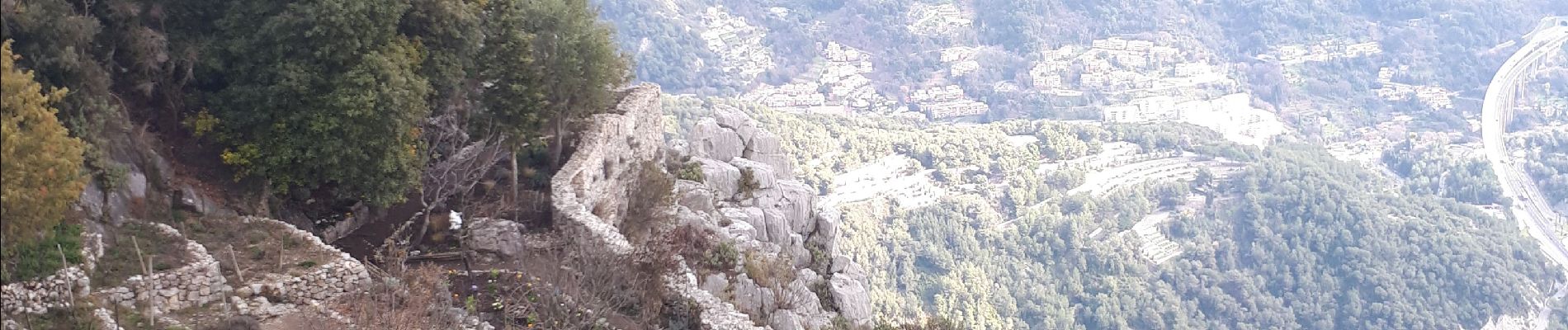
montée par sentier Pisa, retour sentier Vivaron


Stappen

Stappen

Stappen
Stappen

Stappen

Stappen

Stappen
Stappen

Stappen