8,7 km | 10,1 km-effort
soutiers2014
STEPHAS
Gebruiker
Lengte
54 km
Max. hoogte
220 m
Positief hoogteverschil
732 m
Km-Effort
64 km
Min. hoogte
67 m
Negatief hoogteverschil
717 m
Boucle
Neen
Datum van aanmaak :
2014-12-10 00:00:00.0
Laatste wijziging :
2014-12-10 00:00:00.0
5h54
Moeilijkheid : Gemakkelijk
Gratisgps-wandelapplicatie
Over ons
Tocht Mountainbike van 54 km beschikbaar op Nieuw-Aquitanië, Deux-Sèvres, Saint-Pardoux-Soutiers. Deze tocht wordt voorgesteld door STEPHAS.
Plaatsbepaling
Land:
France
Regio :
Nieuw-Aquitanië
Departement/Provincie :
Deux-Sèvres
Gemeente :
Saint-Pardoux-Soutiers
Locatie:
Unknown
Vertrek:(Dec)
Vertrek:(UTM)
708421 ; 5161013 (30T) N.
Opmerkingen
Wandeltochten in de omgeving
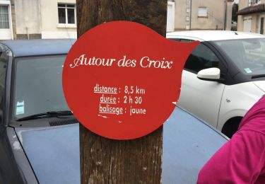
St pardoux les croix
Stappen
Saint-Pardoux-Soutiers,
Nieuw-Aquitanië,
Deux-Sèvres,
France
1h 58min
Ja
Mazières-en-Gâtine 6 chemins
Stappen
Heel gemakkelijk
Saint-Marc-la-Lande,
Nieuw-Aquitanië,
Deux-Sèvres,
France
6,1 km | 6,8 km-effort
1h 21min
Ja
du 15
Quad
Heel gemakkelijk
Saint-Pardoux-Soutiers,
Nieuw-Aquitanië,
Deux-Sèvres,
France
76 km | 87 km-effort
8h 41min
Neen
pompaire
Stappen
Gemakkelijk
Pompaire,
Nieuw-Aquitanië,
Deux-Sèvres,
France
4,7 km | 5,3 km-effort
1h 19min
Ja