


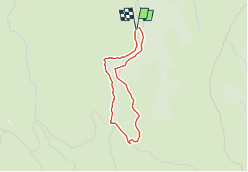

7,2 km | 9,5 km-effort


Tous les sentiers balisés d’Europe GUIDE+


Gratisgps-wandelapplicatie
 SityTrail
IGN / Geografische instituten
SityTrail World
De wereld gaat voor u open
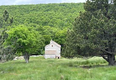
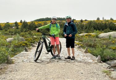
Tocht Te voet van 3,1 km beschikbaar op Occitanië, Lozère, Pont de Montvert - Sud Mont Lozère. Deze tocht wordt voorgesteld door SityTrail - itinéraires balisés pédestres.
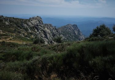
Trail created by Parc national des Cévennes.


Stappen
Stappen
Stappen
Stappen

Stappen

sport
sport
Stappen
Stappen