


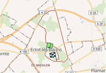

9,8 km | 11 km-effort

Tous les sentiers balisés d’Europe GUIDE+


Gratisgps-wandelapplicatie
 SityTrail
IGN / Geografische instituten
SityTrail World
De wereld gaat voor u open
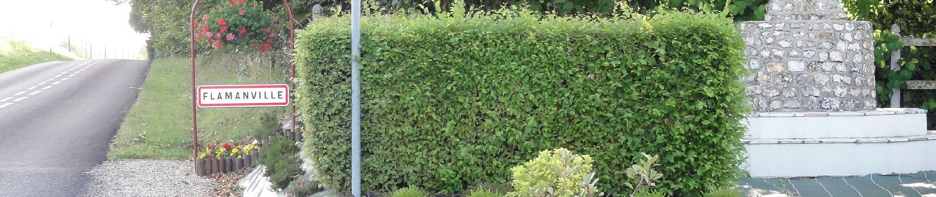
Tocht Te voet van 6,7 km beschikbaar op Normandië, Seine-Maritime, Ectot-lès-Baons. Deze tocht wordt voorgesteld door SityTrail - itinéraires balisés pédestres.
Trail created by Communauté de communes de Yerville Plateau de Caux.


Te voet
Te voet
Te voet

Te voet

Stappen


sport

Hybride fiets

Stappen
Mountainbike