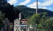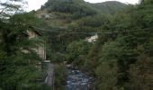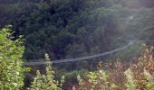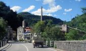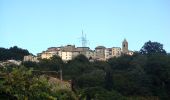

Lancisa-Mammiano
SityTrail - itinéraires balisés pédestres
Tous les sentiers balisés d’Europe GUIDE+

Lengte
4,4 km

Max. hoogte
797 m

Positief hoogteverschil
108 m

Km-Effort
6,5 km

Min. hoogte
519 m

Negatief hoogteverschil
315 m
Boucle
Neen
Markering
Datum van aanmaak :
2022-02-17 11:05:59.173
Laatste wijziging :
2022-03-02 02:36:58.815
1h28
Moeilijkheid : Gemakkelijk

Gratisgps-wandelapplicatie
Over ons
Tocht Te voet van 4,4 km beschikbaar op Toscane, Pistoia, San Marcello Piteglio. Deze tocht wordt voorgesteld door SityTrail - itinéraires balisés pédestres.
Beschrijving
Trail created by Associazione Culturale Valle Lune.
Plaatsbepaling
Land:
Italy
Regio :
Toscane
Departement/Provincie :
Pistoia
Gemeente :
San Marcello Piteglio
Locatie:
Unknown
Vertrek:(Dec)
Vertrek:(UTM)
642712 ; 4881976 (32T) N.
Opmerkingen
Wandeltochten in de omgeving
Cammino di S. Bartolomeo


Te voet
Gemakkelijk
San Marcello Piteglio,
Toscane,
Pistoia,
Italy

8,5 km | 13,5 km-effort
3h 3min
Neen
(SI L14) Lago Scaffaiolo - Abetone (Boscolungo)


Te voet
Medium
Fanano,
Emilia-Romagna,
Modena,
Italy

15,4 km | 25 km-effort
5h 42min
Neen
San Marcello - Pian dei Termini - Terminaccia - Monticelli - Innesto 00


Te voet
Gemakkelijk
San Marcello Piteglio,
Toscane,
Pistoia,
Italy

5,2 km | 13,1 km-effort
2h 58min
Neen

IT-4


Te voet
Gemakkelijk
San Marcello Piteglio,
Toscane,
Pistoia,
Italy

5,6 km | 8,1 km-effort
1h 50min
Neen
Aller-retour Doganaccia - Punta Sofia


Stappen
Medium
Abetone Cutigliano,
Toscane,
Pistoia,
Italy

14,9 km | 24 km-effort
5h 53min
Ja
Alta via dei Parchi: Tappa 09


Te voet
Medium
Fanano,
Emilia-Romagna,
Modena,
Italy

15,6 km | 26 km-effort
5h 49min
Neen
Alta via dei Parchi: Tappa 10


Te voet
Medium
Fanano,
Emilia-Romagna,
Modena,
Italy

13,5 km | 20 km-effort
4h 33min
Neen
IT-02


Te voet
Gemakkelijk
San Marcello Piteglio,
Toscane,
Pistoia,
Italy

5,5 km | 8,5 km-effort
1h 56min
Neen


 SityTrail


