

2022-02-16_18h20m44_SityTrail - 2642376 - boucle-ballancourt-x-essonne-sous-la-neige

aucamus
Gebruiker

Lengte
21 km

Max. hoogte
151 m

Positief hoogteverschil
363 m

Km-Effort
25 km

Min. hoogte
49 m

Negatief hoogteverschil
362 m
Boucle
Ja
Datum van aanmaak :
2022-02-16 17:20:49.097
Laatste wijziging :
2022-11-05 12:20:05.645

Gratisgps-wandelapplicatie
Over ons
Tocht van 21 km beschikbaar op Île-de-France, Essonne, Ballancourt-sur-Essonne. Deze tocht wordt voorgesteld door aucamus.
Beschrijving
Rando menée par Pilou
quelques passages partagés avec les chasseurs en cette saison, et quelques passages sur rochers un peu sportifs
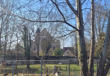
Très beau parcours teinté de blanc
Plaatsbepaling
Land:
France
Regio :
Île-de-France
Departement/Provincie :
Essonne
Gemeente :
Ballancourt-sur-Essonne
Locatie:
Unknown
Vertrek:(Dec)
Vertrek:(UTM)
454266 ; 5374536 (31U) N.
Opmerkingen
Wandeltochten in de omgeving
Les vieilles ailes


Stappen
Gemakkelijk
(1)
Itteville,
Île-de-France,
Essonne,
France

16,8 km | 19,2 km-effort
3h 37min
Ja
Boucle 20 km autour de Mennecy


Te voet
Medium
Mennecy,
Île-de-France,
Essonne,
France

20 km | 23 km-effort
5h 15min
Ja
Rando Ballancourt 15 km BM


Stappen
Moeilijk
(1)
Ballancourt-sur-Essonne,
Île-de-France,
Essonne,
France

14,8 km | 16,9 km-effort
3h 50min
Ja
Boucle 23 km au départ de Mennecy


Stappen
Heel gemakkelijk
Mennecy,
Île-de-France,
Essonne,
France

23 km | 26 km-effort
4h 52min
Ja
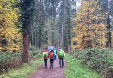
Boucle Champcueil


Stappen
Medium
Champcueil,
Île-de-France,
Essonne,
France

25 km | 30 km-effort
5h 38min
Ja
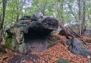
Boucle autour de Ballancourt


Stappen
Medium
Ballancourt-sur-Essonne,
Île-de-France,
Essonne,
France

21 km | 25 km-effort
4h 47min
Ja
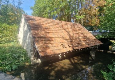
De La Ferté Alais à Mennecy


Stappen
Heel gemakkelijk
Baulne,
Île-de-France,
Essonne,
France

20 km | 23 km-effort
4h 31min
Neen
SityTrail - 3212203 - itteville


Te voet
Moeilijk
Itteville,
Île-de-France,
Essonne,
France

28 km | 33 km-effort
7h 32min
Ja
Boucle Orveau - Ferté Alais 27 km


Te voet
Moeilijk
La Ferté-Alais,
Île-de-France,
Essonne,
France

27 km | 33 km-effort
7h 26min
Ja


 SityTrail


