


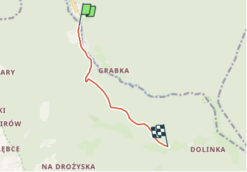

4,4 km | 5,9 km-effort

Tous les sentiers balisés d’Europe GUIDE+


Gratisgps-wandelapplicatie
 SityTrail
IGN / Geografische instituten
SityTrail World
De wereld gaat voor u open
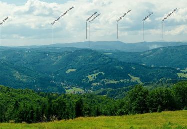
Tocht Te voet van 3,2 km beschikbaar op Woiwodschap Silezië, powiat cieszyński, Brenna. Deze tocht wordt voorgesteld door SityTrail - itinéraires balisés pédestres.
Trail created by ZHP.
Symbol: Zielone H na białym polu


Te voet
Te voet
Te voet