


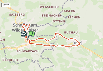

4,6 km | 5,9 km-effort

Tous les sentiers balisés d’Europe GUIDE+


Gratisgps-wandelapplicatie
 SityTrail
IGN / Geografische instituten
SityTrail World
De wereld gaat voor u open
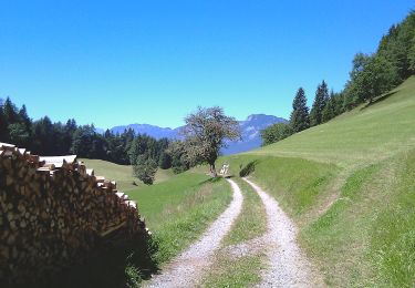
Tocht Te voet van 7,7 km beschikbaar op Tirol, Bezirk Kufstein, Gemeinde Scheffau am Wilden Kaiser. Deze tocht wordt voorgesteld door SityTrail - itinéraires balisés pédestres.
Trail created by Lauf- und Nordic Walking Region Wilder Kaiser.
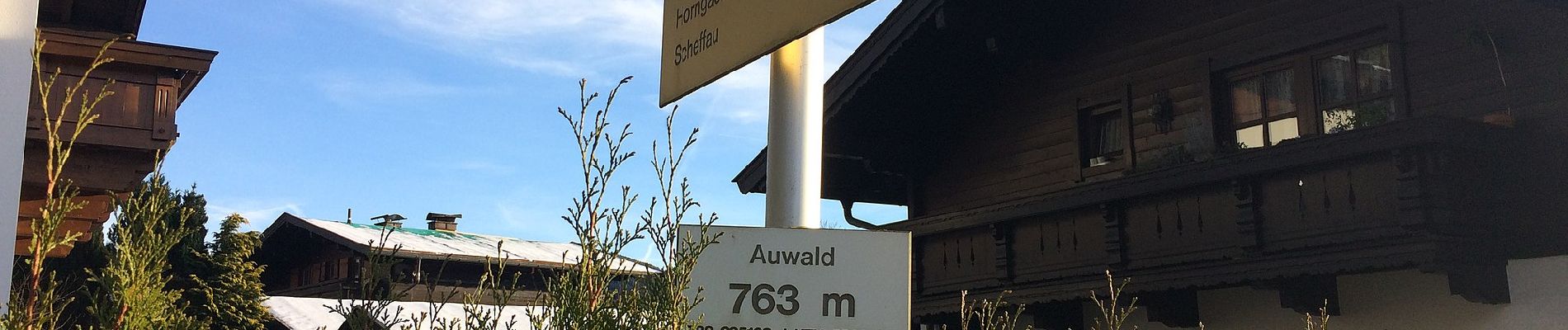
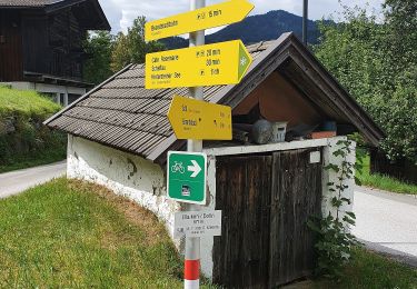
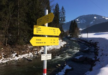
Route 2020 vor Ort Übersichtskarte und nur noch vereinzelt Wegweisschilder
Symbol: Weiße Schilder mit schwarzem Richtungspfeil und türkiesem Streifen mit dem Namen "Auwaldrunde"


Te voet
Te voet
![Tocht Te voet Gemeinde Söll - [40] Wanderweg - Brandstadl - Photo](https://media.geolcdn.com/t/375/260/f5e792c0-e7a9-440a-9b2b-4120aabc3500.jpeg&format=jpg&maxdim=2)
Te voet
Te voet
Te voet
Te voet
Te voet
Te voet
Te voet