


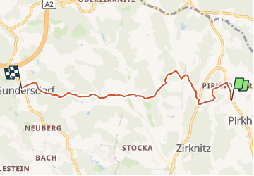

4,2 km | 4,5 km-effort

Tous les sentiers balisés d’Europe GUIDE+


Gratisgps-wandelapplicatie
 SityTrail
IGN / Geografische instituten
SityTrail World
De wereld gaat voor u open
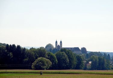
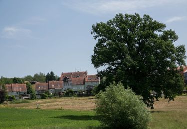
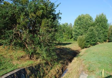
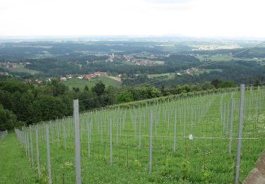
Tocht Te voet van 5,5 km beschikbaar op Stiermarken, Bezirk Deutschlandsberg, Sankt Stefan ob Stainz. Deze tocht wordt voorgesteld door SityTrail - itinéraires balisés pédestres.
Trail created by TVB Schilcherland.
http://wiki.openstreetmap.org/wiki/WikiProject_Austria/Wanderwege
Symbol: rot-weiss-rot S3


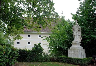
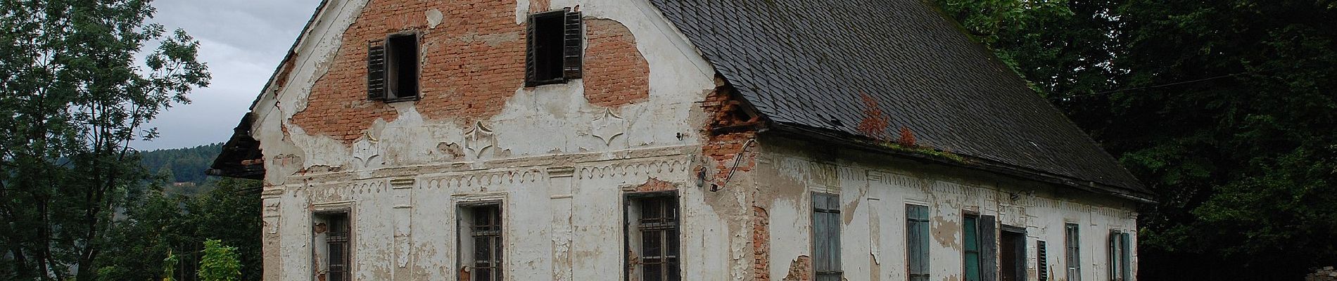
Te voet
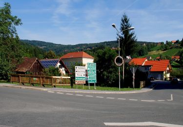
Te voet
Te voet
Te voet
Te voet
Te voet
Te voet
Te voet
Te voet