


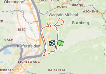

9,8 km | 12,7 km-effort

Tous les sentiers balisés d’Europe GUIDE+


Gratisgps-wandelapplicatie
 SityTrail
IGN / Geografische instituten
SityTrail World
De wereld gaat voor u open
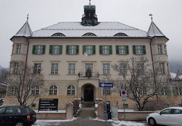
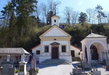
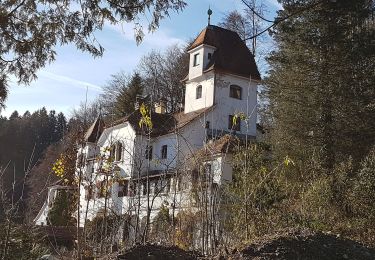
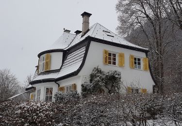
Tocht Te voet van 9,9 km beschikbaar op Tirol, Bezirk Kufstein, Gemeinde Ebbs. Deze tocht wordt voorgesteld door SityTrail - itinéraires balisés pédestres.
Trail created by Kufsteinerland.
Symbol: Weiße Schilder mit Richtungspfeil und rotem Streifen mit dem Namen "Schanzer-Runde"


Te voet
Te voet

Te voet
Te voet
Te voet
Te voet
Te voet
Te voet
Te voet