


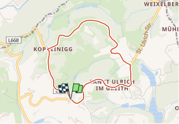

10,1 km | 14,6 km-effort

Tous les sentiers balisés d’Europe GUIDE+


Gratisgps-wandelapplicatie
 SityTrail
IGN / Geografische instituten
SityTrail World
De wereld gaat voor u open
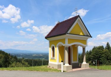
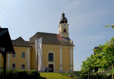
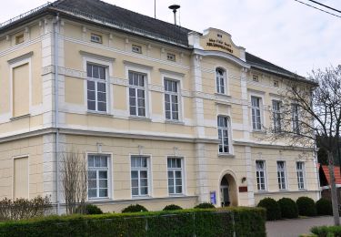
Tocht Te voet van 3,9 km beschikbaar op Stiermarken, Bezirk Deutschlandsberg, Sankt Martin im Sulmtal. Deze tocht wordt voorgesteld door SityTrail - itinéraires balisés pédestres.
Symbol: Blaues Blatt auf weißen Grund

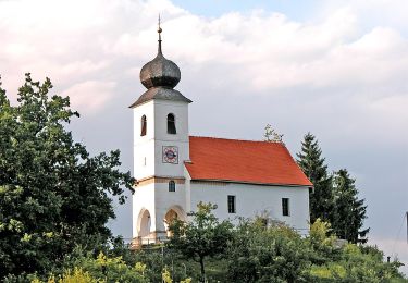
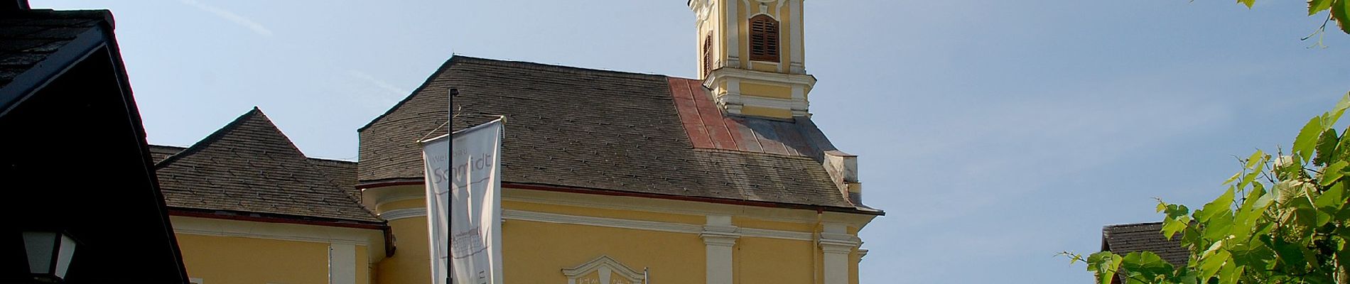
Te voet
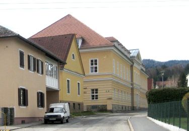
Te voet
Te voet
Te voet

Te voet
Te voet