


4 km | 4,4 km-effort

Tous les sentiers balisés d’Europe GUIDE+


Gratisgps-wandelapplicatie
 SityTrail
IGN / Geografische instituten
SityTrail World
De wereld gaat voor u open
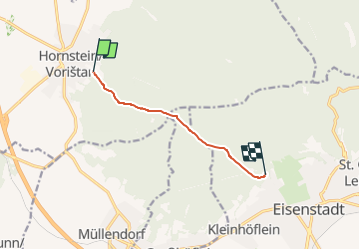
Tocht Te voet van 5,6 km beschikbaar op Burgenland, Bezirk Eisenstadt-Umgebung, Gemeinde Hornstein. Deze tocht wordt voorgesteld door SityTrail - itinéraires balisés pédestres.
Trail created by Österreichischer Touristenklub, Sektion Eisenstadt.
teils nur blau-weiß, teils blau-weiß-blau
Symbol: blauer, waagrechter Balken
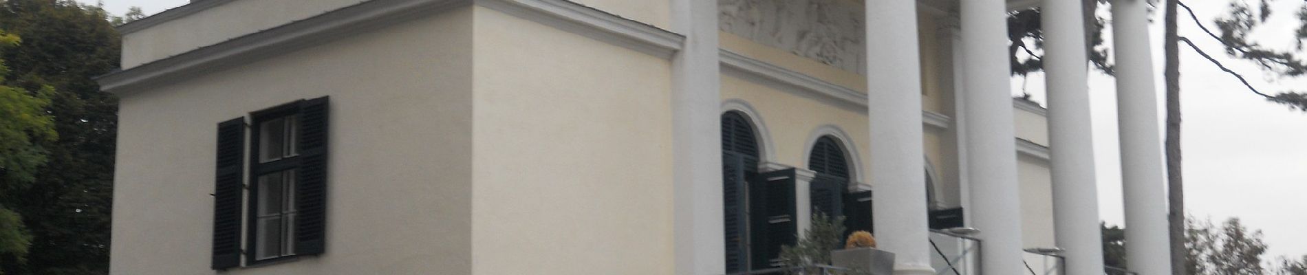
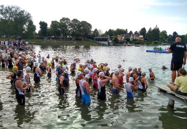
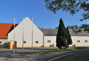
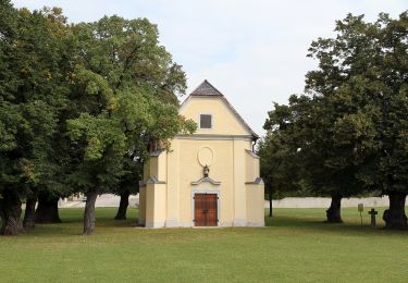
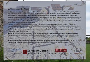
 - Hornstein - Photo 1")
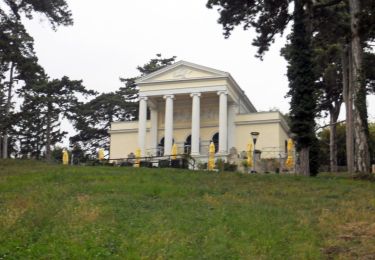
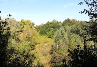
 - Hornstein - Photo 2")
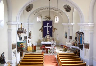
 - Hornstein - Photo 3")
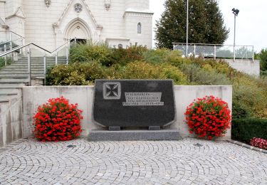
 - Hornstein - Photo 4")
 - Hornstein - Photo 5")
 - Hornstein - Photo 6")
 - Hornstein - Photo 7")
 - Hornstein - Photo 8")
 - Hornstein - Photo 9")
 - Hornstein - Photo 10")
Te voet
Te voet
Te voet

Te voet
Te voet
Te voet
Te voet
Te voet
Te voet