


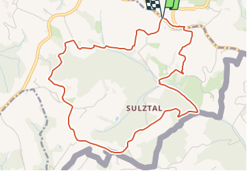

7,2 km | 10 km-effort

Tous les sentiers balisés d’Europe GUIDE+


Gratisgps-wandelapplicatie
 SityTrail
IGN / Geografische instituten
SityTrail World
De wereld gaat voor u open
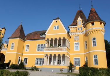
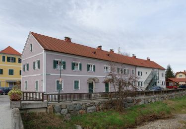
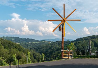
Tocht Te voet van 5,6 km beschikbaar op Stiermarken, Bezirk Leibnitz, Gamlitz. Deze tocht wordt voorgesteld door SityTrail - itinéraires balisés pédestres.
Erlebe die Südsteiermark und entdecke Events, Geheimtipps, kulinarische Highlight, die südsteirischen Weinstraßen und unsere Unterkünfte! Urlaub gleich hier online buchen!
Website: https://www.suedsteirischeweinstrasse.at/uploads/media/sulztal.pdf


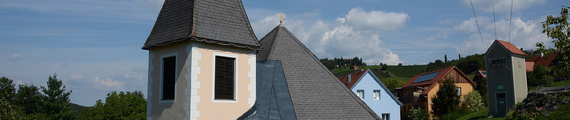
Te voet
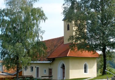
Te voet
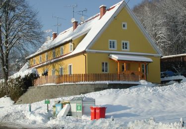
Te voet

Te voet

Te voet
Te voet

Te voet
Te voet

Te voet