


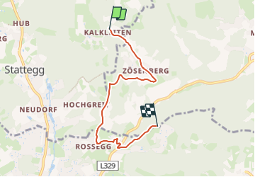

7,7 km | 11 km-effort

Tous les sentiers balisés d’Europe GUIDE+


Gratisgps-wandelapplicatie
 SityTrail
IGN / Geografische instituten
SityTrail World
De wereld gaat voor u open
Tocht Te voet van 5,1 km beschikbaar op Stiermarken, Bezirk Graz-Umgebung, Stattegg. Deze tocht wordt voorgesteld door SityTrail - itinéraires balisés pédestres.
Trail created by Österreichischer Alpenverein, Sektion Graz.
http://wiki.openstreetmap.org/wiki/WikiProject_Austria/Wanderwege
Symbol: rot-weiss-rot mit schwarzer Zahl 26 im weissen Streifen


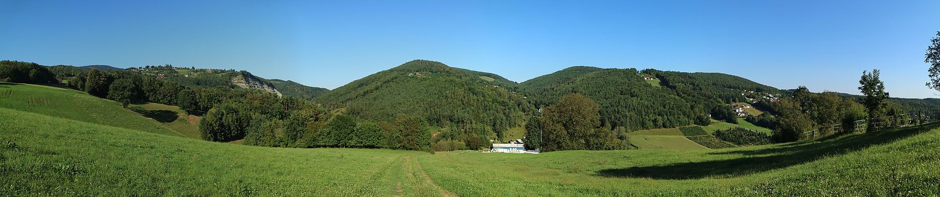
Te voet
Te voet
Te voet
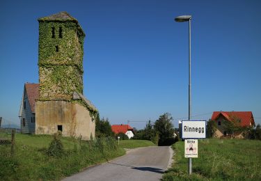
Te voet
Te voet
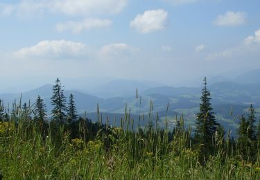
Te voet
Te voet
Te voet
Te voet