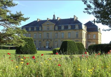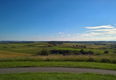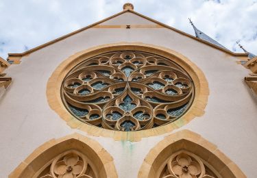

Circuit du Haut des Oies
SityTrail - itinéraires balisés pédestres
Tous les sentiers balisés d’Europe GUIDE+

Lengte
15,3 km

Max. hoogte
334 m

Positief hoogteverschil
247 m

Km-Effort
18,6 km

Min. hoogte
227 m

Negatief hoogteverschil
247 m
Boucle
Ja
Markering
Datum van aanmaak :
2022-02-15 19:39:36.956
Laatste wijziging :
2022-03-03 00:14:48.208
4h12
Moeilijkheid : Gemakkelijk

Gratisgps-wandelapplicatie
Over ons
Tocht Te voet van 15,3 km beschikbaar op Grand Est, Moselle, Maizeroy. Deze tocht wordt voorgesteld door SityTrail - itinéraires balisés pédestres.
Beschrijving
Trail created by MOSL.
Plaatsbepaling
Land:
France
Regio :
Grand Est
Departement/Provincie :
Moselle
Gemeente :
Maizeroy
Locatie:
Unknown
Vertrek:(Dec)
Vertrek:(UTM)
311158 ; 5441154 (32U) N.
Opmerkingen
Wandeltochten in de omgeving

Circuit des Châteaux


Te voet
Gemakkelijk
Pange,
Grand Est,
Moselle,
France

7,4 km | 8,4 km-effort
1h 54min
Ja

Circuit du Mont Saint-Pierre


Te voet
Gemakkelijk
Servigny-lès-Raville,
Grand Est,
Moselle,
France

10,6 km | 12,9 km-effort
2h 56min
Ja

Circuit de l'Empereur


Te voet
Gemakkelijk
Courcelles-Chaussy,
Grand Est,
Moselle,
France

12,6 km | 14,9 km-effort
3h 22min
Ja

Circuit de Chanville - Haut St Pierre


Te voet
Gemakkelijk
Hémilly,
Grand Est,
Moselle,
France

3,3 km | 4,2 km-effort
57min
Neen

forêt Silly


Stappen
Gemakkelijk
Silly-sur-Nied,
Grand Est,
Moselle,
France

5,8 km | 7,3 km-effort
1h 47min
Ja

forêt Silly-sur-Nied


Stappen
Gemakkelijk
(1)
Silly-sur-Nied,
Grand Est,
Moselle,
France

5,9 km | 7,3 km-effort
1h 40min
Ja


mt st pierre


Stappen
Heel gemakkelijk
Villers-Stoncourt,
Grand Est,
Moselle,
France

12,1 km | 14,6 km-effort
3h 5min
Neen

Fer à cheval


Stappen
Gemakkelijk
Courcelles-Chaussy,
Grand Est,
Moselle,
France

3,2 km | 3,9 km-effort
1h 0min
Ja


 SityTrail


