


4,2 km | 7,4 km-effort

Tous les sentiers balisés d’Europe GUIDE+


Gratisgps-wandelapplicatie
 SityTrail
IGN / Geografische instituten
SityTrail World
De wereld gaat voor u open
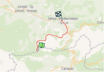
Tocht Te voet van 13,2 km beschikbaar op Trento-Zuid-Tirol, Bolzano - Bozen, Kastelruth - Castelrotto. Deze tocht wordt voorgesteld door SityTrail - itinéraires balisés pédestres.
Sentiero Italia CAI 2019
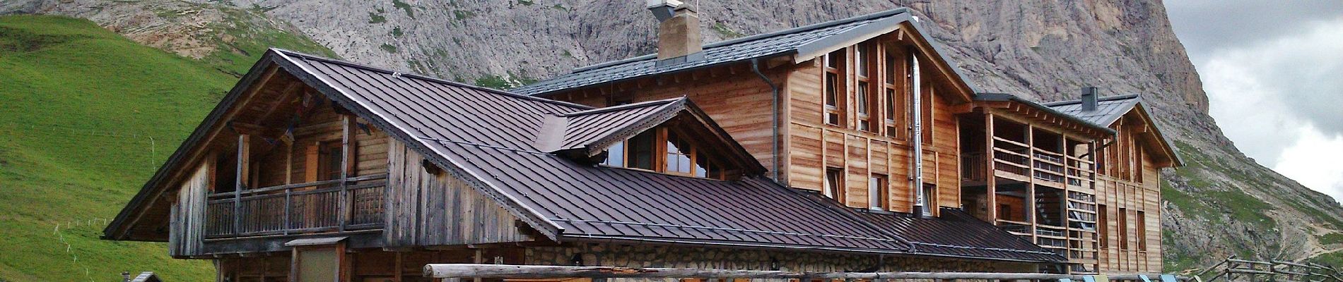
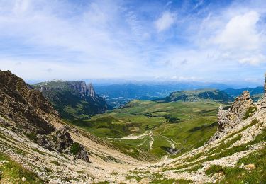
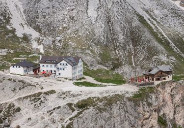
 Rifugio Sasso Piatto - Selva di Val Gardena - Photo 1")
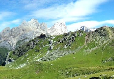
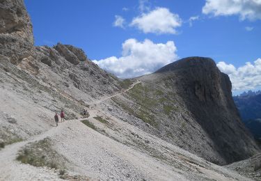
 Rifugio Sasso Piatto - Selva di Val Gardena - Photo 2")
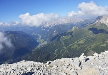
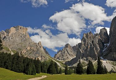
 Rifugio Sasso Piatto - Selva di Val Gardena - Photo 3")
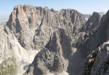
 Rifugio Sasso Piatto - Selva di Val Gardena - Photo 4")
 Rifugio Sasso Piatto - Selva di Val Gardena - Photo 5")
 Rifugio Sasso Piatto - Selva di Val Gardena - Photo 6")
 Rifugio Sasso Piatto - Selva di Val Gardena - Photo 7")
 Rifugio Sasso Piatto - Selva di Val Gardena - Photo 8")
 Rifugio Sasso Piatto - Selva di Val Gardena - Photo 9")
 Rifugio Sasso Piatto - Selva di Val Gardena - Photo 10")
Te voet
Te voet
Te voet

Te voet
Te voet
Te voet
Te voet
Te voet
Te voet