


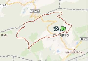

4,2 km | 7,6 km-effort

Tous les sentiers balisés d’Europe GUIDE+


Gratisgps-wandelapplicatie
 SityTrail
IGN / Geografische instituten
SityTrail World
De wereld gaat voor u open
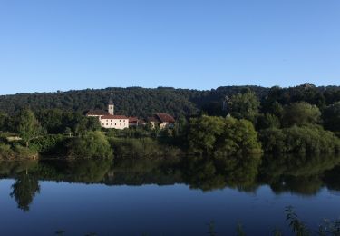
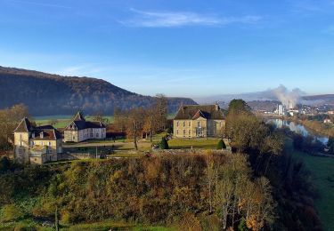
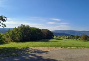
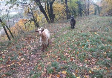
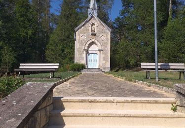
Tocht Te voet van 8,6 km beschikbaar op Bourgondië-Franche-Comté, Doubs, Amagney. Deze tocht wordt voorgesteld door SityTrail - itinéraires balisés pédestres.
Activités Outdoor - Grand Besançon
Website: http://www.grandes-heures-nature.fr/

Te voet
Te voet
Te voet
Te voet

Stappen
Stappen
Stappen
Stappen
Stappen