


3,9 km | 7,9 km-effort

Tous les sentiers balisés d’Europe GUIDE+


Gratisgps-wandelapplicatie
 SityTrail
IGN / Geografische instituten
SityTrail World
De wereld gaat voor u open
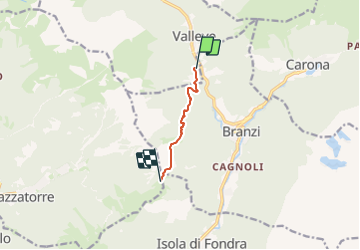
Tocht Te voet van 4,5 km beschikbaar op Lombardije, Bergamo, Valleve. Deze tocht wordt voorgesteld door SityTrail - itinéraires balisés pédestres.
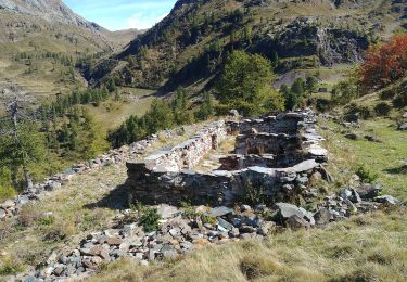
Poco praticato dagli escursionisti, merita di essere percorso in ogni stagione dell'anno grazie alla vista che sa regalare una volta giunti in quota.Naturale prosecuzione del sentiero 117A in salita da Branzi, può essere raggiunto anche partendo dalla frazione Valrobà di Valleve, percorrendo la strada agro-silvo-pastorale che conduce verso Branzi e la frazione Prati (Branzi).
Website: http://geoportale.caibergamo.it/it/sentiero/117
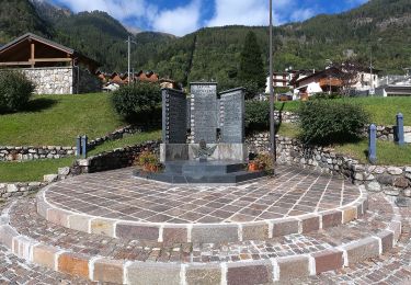
 - Forcolino di Torcola - Photo 1")
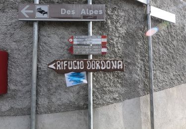
 - Forcolino di Torcola - Photo 2")
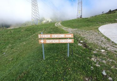
 - Forcolino di Torcola - Photo 3")
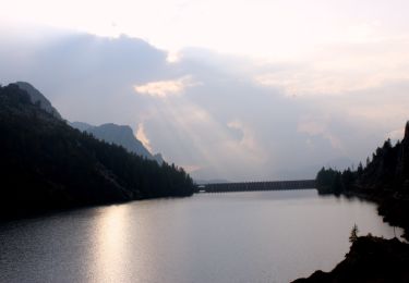
 - Forcolino di Torcola - Photo 4")
 - Forcolino di Torcola - Photo 5")
Te voet
Te voet
Te voet
Te voet
Te voet
Te voet