


6,5 km | 10,5 km-effort

Tous les sentiers balisés d’Europe GUIDE+


Gratisgps-wandelapplicatie
 SityTrail
IGN / Geografische instituten
SityTrail World
De wereld gaat voor u open
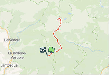
Tocht Te voet van 23 km beschikbaar op Provence-Alpes-Côte d'Azur, Alpes-Maritimes, Moulinet. Deze tocht wordt voorgesteld door SityTrail - itinéraires balisés pédestres.
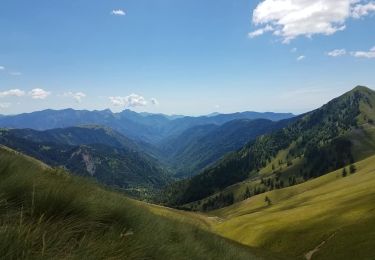
Randonnée pédestre - Haut pays : Au départ de l’Authion (1 889 mètres)
Website: https://randoxygene.departement06.fr/haute-vesubie/cime-du-diable-9209.html


Te voet

Te voet
Sneeuwschoenen
Stappen

Stappen
Stappen
Stappen
Stappen
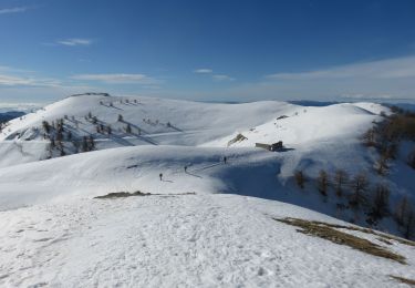
Sneeuwschoenen