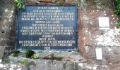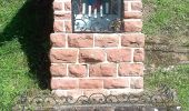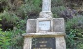

Autour des moines de Sturzelbronn
SityTrail - itinéraires balisés pédestres
Tous les sentiers balisés d’Europe GUIDE+

Lengte
10,9 km

Max. hoogte
382 m

Positief hoogteverschil
299 m

Km-Effort
14,8 km

Min. hoogte
250 m

Negatief hoogteverschil
292 m
Boucle
Ja
Markering
Datum van aanmaak :
2022-02-15 18:12:06.131
Laatste wijziging :
2022-03-02 20:37:41.481
3h22
Moeilijkheid : Gemakkelijk

Gratisgps-wandelapplicatie
Over ons
Tocht Te voet van 10,9 km beschikbaar op Grand Est, Moselle, Sturzelbronn. Deze tocht wordt voorgesteld door SityTrail - itinéraires balisés pédestres.
Beschrijving
Trail created by Club Vosgien/ComCom Pays de Bitche.
Route still under construction. The signage may not be complete
Plaatsbepaling
Land:
France
Regio :
Grand Est
Departement/Provincie :
Moselle
Gemeente :
Sturzelbronn
Locatie:
Unknown
Vertrek:(Dec)
Vertrek:(UTM)
399079 ; 5435288 (32U) N.
Opmerkingen
Wandeltochten in de omgeving
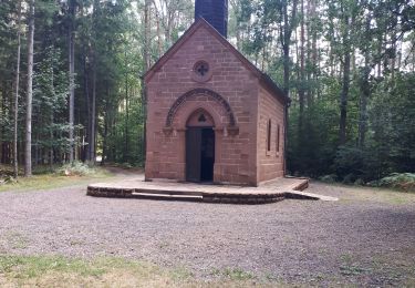
Notre Dame des Bois


Stappen
Medium
(1)
Éguelshardt,
Grand Est,
Moselle,
France

17,3 km | 24 km-effort
4h 4min
Ja
Triangle rouge


Te voet
Medium
Obersteinbach,
Grand Est,
Bas-Rhin,
France

14,1 km | 21 km-effort
4h 45min
Neen

Sentier paysager passe-frontière n°3


Te voet
Gemakkelijk
Sturzelbronn,
Grand Est,
Moselle,
France

10 km | 13,8 km-effort
3h 8min
Ja
Blue dot


Te voet
Gemakkelijk
Philippsbourg,
Grand Est,
Moselle,
France

6,6 km | 8,3 km-effort
1h 53min
Neen

Blue cross


Te voet
Moeilijk
Sturzelbronn,
Grand Est,
Moselle,
France

27 km | 37 km-effort
8h 29min
Neen

Anneau rouge


Te voet
Gemakkelijk
Obersteinbach,
Grand Est,
Bas-Rhin,
France

3,8 km | 4,9 km-effort
1h 7min
Ja
Rundwanderweg Eppenbrunn 3


Te voet
Gemakkelijk
Eppenbrunn,
Rijnland-Palts,
Südwestpfalz,
Germany

4,2 km | 5,8 km-effort
1h 18min
Neen
Sentier paysager passe-frontière n°4


Te voet
Medium
Sturzelbronn,
Grand Est,
Moselle,
France

19,1 km | 25 km-effort
5h 46min
Ja
Horbachkanzel-Runde


Te voet
Gemakkelijk
Ludwigswinkel,
Rijnland-Palts,
Südwestpfalz,
Germany

6,9 km | 9 km-effort
2h 2min
Ja


 SityTrail


