


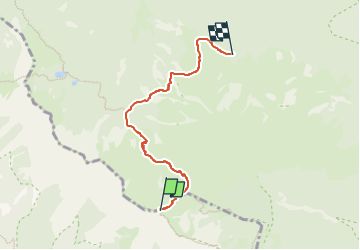

7,5 km | 13,2 km-effort


Tous les sentiers balisés d’Europe GUIDE+


Gratisgps-wandelapplicatie
 SityTrail
IGN / Geografische instituten
SityTrail World
De wereld gaat voor u open
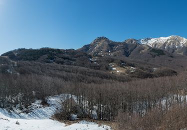
Tocht Te voet van 4,7 km beschikbaar op Emilia-Romagna, Reggio nell'Emilia, Ventasso. Deze tocht wordt voorgesteld door SityTrail - itinéraires balisés pédestres.
Trail created by CAI Reggio Emilia.
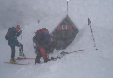
Symbol: 673 on white red flags


Te voet

Te voet
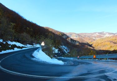
Te voet
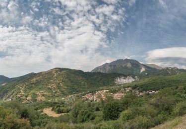
Te voet
Te voet
Te voet
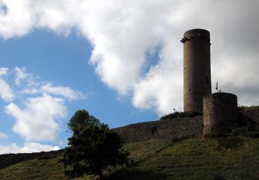
Te voet
Te voet

Te voet