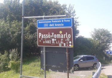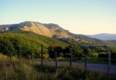

Mulino di Castagnola - Castagnola - Cantone
SityTrail - itinéraires balisés pédestres
Tous les sentiers balisés d’Europe GUIDE+

Lengte
6 km

Max. hoogte
1504 m

Positief hoogteverschil
863 m

Km-Effort
14,6 km

Min. hoogte
647 m

Negatief hoogteverschil
10 m
Boucle
Neen
Markering
Datum van aanmaak :
2022-02-15 17:27:35.858
Laatste wijziging :
2022-03-01 20:52:30.767
3h19
Moeilijkheid : Gemakkelijk

Gratisgps-wandelapplicatie
Over ons
Tocht Te voet van 6 km beschikbaar op Emilia-Romagna, Piacenza, Ferriere. Deze tocht wordt voorgesteld door SityTrail - itinéraires balisés pédestres.
Beschrijving
Symbol: 105 on white red flags
Plaatsbepaling
Land:
Italy
Regio :
Emilia-Romagna
Departement/Provincie :
Piacenza
Gemeente :
Ferriere
Locatie:
Unknown
Vertrek:(Dec)
Vertrek:(UTM)
533382 ; 4938072 (32T) N.
Opmerkingen
Wandeltochten in de omgeving

Rocca d'Aveto - Passo della Lepre - Strada Statale 654 - Passo del Chiodo


Te voet
Gemakkelijk
Santo Stefano d'Aveto,
Ligurië,
Genua,
Italy

8,3 km | 11,9 km-effort
2h 42min
Neen

Rifugio Gaep - Pianazza - Percorso 007


Te voet
Gemakkelijk
Ferriere,
Emilia-Romagna,
Piacenza,
Italy

3,6 km | 5,2 km-effort
1h 10min
Neen

Colla di Gambaro - Rifugio Gaep - Passo Crociglia


Te voet
Gemakkelijk
Ferriere,
Emilia-Romagna,
Piacenza,
Italy

4,5 km | 10,1 km-effort
2h 18min
Neen

Selva - Flagello - Strada Statale 654 - Le Buche


Te voet
Gemakkelijk
Ferriere,
Emilia-Romagna,
Piacenza,
Italy

3,9 km | 7,7 km-effort
1h 44min
Neen

Selva - Rifugio Gaep - Percorso 001


Te voet
Gemakkelijk
Ferriere,
Emilia-Romagna,
Piacenza,
Italy

3,2 km | 7,6 km-effort
1h 43min
Neen

Gambaro - Monte Carevolo


Te voet
Gemakkelijk
Ferriere,
Emilia-Romagna,
Piacenza,
Italy

3,8 km | 9,7 km-effort
2h 11min
Neen

Connio delle Cascine - Monte Oramara - Percorso Fie Palla Gialla


Te voet
Gemakkelijk
Ottone,
Emilia-Romagna,
Piacenza,
Italy

3,3 km | 8 km-effort
1h 48min
Neen

Ottone - Fabbrica - Monte Veri - Percorso 127


Te voet
Gemakkelijk
Ottone,
Emilia-Romagna,
Piacenza,
Italy

4,7 km | 5,9 km-effort
1h 20min
Neen


 SityTrail


