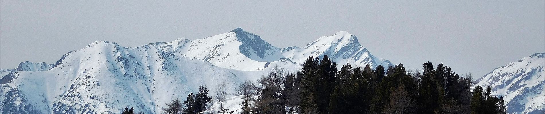
14 km | 30 km-effort

Tous les sentiers balisés d’Europe GUIDE+


Gratisgps-wandelapplicatie
 SityTrail
IGN / Geografische instituten
SityTrail World
De wereld gaat voor u open
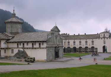
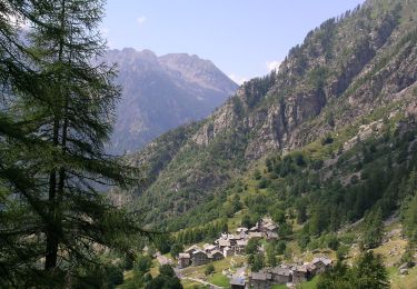
Tocht Te voet van 8,2 km beschikbaar op Piëmont, Biella, Pollone. Deze tocht wordt voorgesteld door SityTrail - itinéraires balisés pédestres.
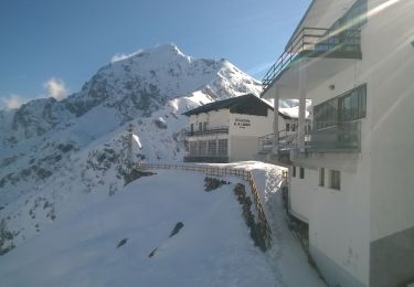
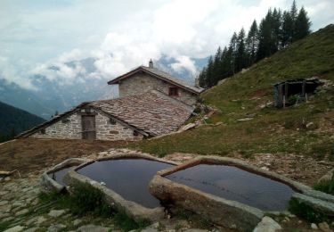
Rifugio Coda - Rifugio della Barma Alte Vie
Website: http://www.lovevda.it/it/banca-dati/7/alte-vie/valle-d-aosta/rifugio-coda-rifugio-della-barma/2980


Te voet
Te voet
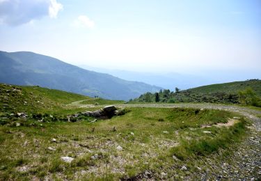
Te voet
Te voet