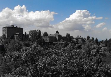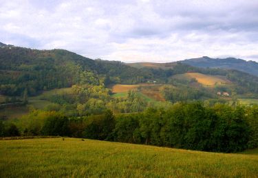

Monte Ciarello - Marzonago - Sevizzano - Monte Lazzaro
SityTrail - itinéraires balisés pédestres
Tous les sentiers balisés d’Europe GUIDE+

Lengte
3,5 km

Max. hoogte
980 m

Positief hoogteverschil
483 m

Km-Effort
8,5 km

Min. hoogte
495 m

Negatief hoogteverschil
59 m
Boucle
Neen
Markering
Datum van aanmaak :
2022-02-15 16:11:01.344
Laatste wijziging :
2022-03-01 17:07:30.51
1h56
Moeilijkheid : Gemakkelijk

Gratisgps-wandelapplicatie
Over ons
Tocht Te voet van 3,5 km beschikbaar op Emilia-Romagna, Piacenza, Alta Val Tidone. Deze tocht wordt voorgesteld door SityTrail - itinéraires balisés pédestres.
Beschrijving
Symbol: 215 on white red flag
Website: https://www.caipiacenza.it/
Plaatsbepaling
Land:
Italy
Regio :
Emilia-Romagna
Departement/Provincie :
Piacenza
Gemeente :
Alta Val Tidone
Locatie:
Unknown
Vertrek:(Dec)
Vertrek:(UTM)
531925 ; 4968749 (32T) N.
Opmerkingen
Wandeltochten in de omgeving

Anello del Monte Sereno


Te voet
Gemakkelijk
Pianello Val Tidone,
Emilia-Romagna,
Piacenza,
Italy

5,3 km | 9,6 km-effort
2h 11min
Neen

Monteventano - Casa Colombani - Passo Caldarola


Te voet
Gemakkelijk
Bobbio,
Emilia-Romagna,
Piacenza,
Italy

8,8 km | 12,3 km-effort
2h 48min
Neen

IT-213


Te voet
Medium
Pianello Val Tidone,
Emilia-Romagna,
Piacenza,
Italy

10,7 km | 20 km-effort
4h 36min
Neen

Chiarone - Rio Tinello - Rocca d'Olgisio - Chiarone


Te voet
Gemakkelijk
Pianello Val Tidone,
Emilia-Romagna,
Piacenza,
Italy

4,5 km | 8,8 km-effort
1h 59min
Neen

IT-217


Te voet
Gemakkelijk
Alta Val Tidone,
Emilia-Romagna,
Piacenza,
Italy

3,7 km | 5,7 km-effort
1h 17min
Neen


 SityTrail


