


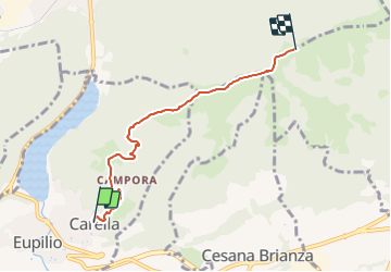

12,1 km | 14,7 km-effort

Tous les sentiers balisés d’Europe GUIDE+


Gratisgps-wandelapplicatie
 SityTrail
IGN / Geografische instituten
SityTrail World
De wereld gaat voor u open
Tocht Te voet van 4,7 km beschikbaar op Lombardije, Como, Eupilio. Deze tocht wordt voorgesteld door SityTrail - itinéraires balisés pédestres.
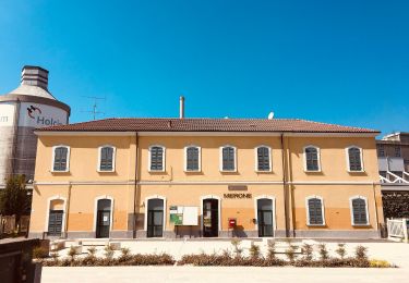
Club Alpino Italiano Sezione di SEREGNO


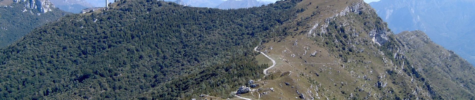
Te voet
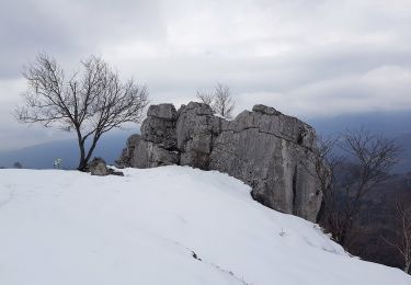
Te voet


Te voet

Te voet
Te voet