


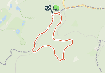

29 km | 39 km-effort


Tous les sentiers balisés d’Europe GUIDE+


Gratisgps-wandelapplicatie
 SityTrail
IGN / Geografische instituten
SityTrail World
De wereld gaat voor u open
Tocht Te voet van 3,9 km beschikbaar op Grand Est, Bas-Rhin, Neuwiller-lès-Saverne. Deze tocht wordt voorgesteld door SityTrail - itinéraires balisés pédestres.
Trail created by Club Vosgien.
Website: https://www.parc-vosges-nord.fr/wp-content/uploads/2018/05/livret-sentier-loosthal.pdf
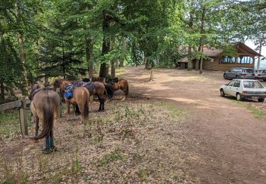
Paardrijden

Te voet
Te voet
Te voet
Te voet
Te voet
Te voet
Te voet
Te voet