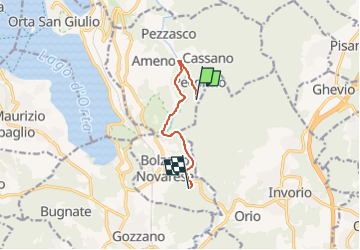

17,6 km | 27 km-effort


Tous les sentiers balisés d’Europe GUIDE+


Gratisgps-wandelapplicatie
 SityTrail
IGN / Geografische instituten
SityTrail World
De wereld gaat voor u open
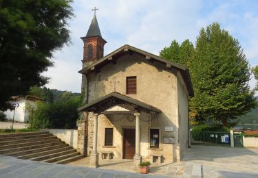
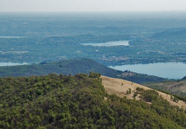
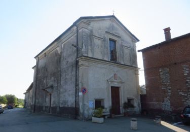
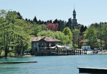
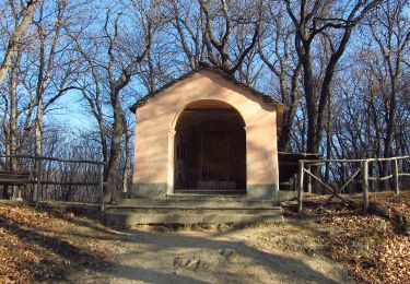
Tocht Te voet van 6 km beschikbaar op Piëmont, Novara, Ameno. Deze tocht wordt voorgesteld door SityTrail - itinéraires balisés pédestres.
Website: http://www.cainovara.it


Te voet

Te voet

Stappen

Te voet
Te voet

Te voet