


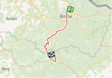

7,8 km | 10,1 km-effort

Tous les sentiers balisés d’Europe GUIDE+


Gratisgps-wandelapplicatie
 SityTrail
IGN / Geografische instituten
SityTrail World
De wereld gaat voor u open
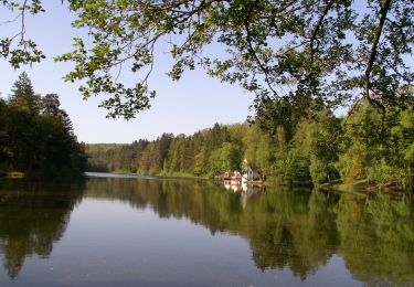
Tocht Te voet van 26 km beschikbaar op Grand Est, Moselle, Bitche. Deze tocht wordt voorgesteld door SityTrail - itinéraires balisés pédestres.
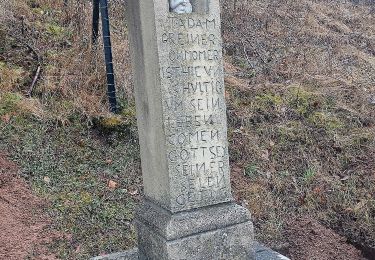
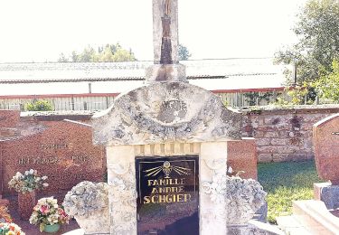
Trail created by Club Vosgien.
Symbol: white strip on top of yellow rectangle


Stappen

Stappen

Stappen
Paardrijden
Te voet
Te voet
Te voet
Te voet
Te voet