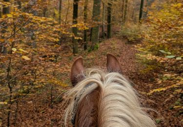
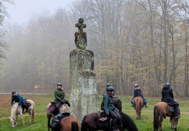
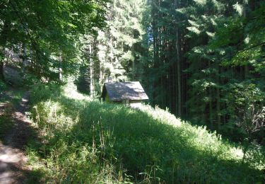
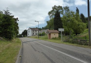
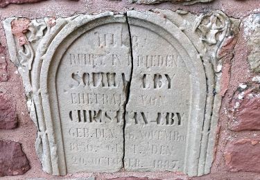
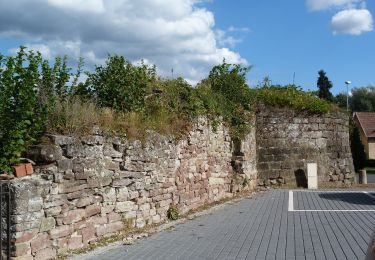
Tocht Te voet Soucht - Blue ring - Photo

Tous les sentiers balisés d’Europe GUIDE+

© OpenStreetMap contributors
Lengte
Lengte
8,4 km
Max. hoogte
Max. hoogte
378 m
Positief hoogteverschil
267 m
Km-Effort
Km-Effort  
12 km
Min. hoogte
Min. hoogte
269 m
Negatief hoogteverschil
264 m
Boucle
Boucle
Ja
Markering
Markering
Datum van aanmaak :
2022-02-15 15:04:59.821
Laatste wijziging :
2022-03-02 17:23:50.492

(0 Bericht)

Te voet
Te voet
2h43
Moeilijkheid : Gemakkelijk

Scan deze QR-code om de tocht te openen in de SityTrail-applicatie

Gratisgps-wandelapplicatie

Logo SityTrail SityTrail

IGN / Geografische instituten

SityTrail uit de App Store downloaden SityTrail uit Google Play downloaden

Logo SityTrail SityTrail World

De wereld gaat voor u open

SityTrail uit de App Store downloaden SityTrail uit Google Play downloaden SityTrail op Huawei AppGallery downloaden

Over ons

Tocht Te voet van 8,4 km beschikbaar op Grand Est, Moselle, Soucht. Deze tocht wordt voorgesteld door SityTrail - itinéraires balisés pédestres.

Beschrijving

Sentiers circulaires à Soucht : Le départ se fait toujours à Soucht place de la République où se trouve un portique d'information ; les sentiers circulaires sont balisés dans les deux sens comme tous les sentiers du Club Vosgien. - sentier anneau bleu : il se situe au sud-ouest du village et présente de multiples…

Website: https://souchtclubvosgien.wordpress.com/sentiers-et-circuits-vtt/

Hoogteprofiel

Foto's

Plaatsbepaling

Land:
France
Regio :
Grand Est
Departement/Provincie :
Moselle
Gemeente :
Soucht
Locatie:
Unknown
Vertrek:(UTM)
376915 ; 5423121 (32U) N.

Wandeltochten in de omgeving

Tocht Stappen Saint-Louis-lès-Bitche - Saint-Louis-Lès-Bitche et le pays du verre et du cristal - Photo
Stappen
tracegps

Stappen

Medium
(2)
Saint-Louis-lès-Bitche, Grand Est, Moselle, France
13,1 km | 17,5 km-effort
3h 19min
Ja
Tocht Te voet Montbronn - Circuit des calvaires n°4 - Photo
Te voet
GUIDE+

Te voet

Gemakkelijk
Montbronn, Grand Est, Moselle, France
4,9 km | 6,2 km-effort
1h 24min
Neen
Tocht Te voet Butten - Anneau bleu - Photo
Te voet
GUIDE+

Te voet

Gemakkelijk
Butten, Grand Est, Bas-Rhin, France
5,8 km | 7,9 km-effort
1h 48min
Ja
Tocht Te voet Butten - Anneau rouge - Photo
Te voet
GUIDE+

Te voet

Gemakkelijk
Butten, Grand Est, Bas-Rhin, France
6,2 km | 8 km-effort
1h 48min
Ja
Tocht Te voet Volksberg - Losange vert - Photo
Te voet
GUIDE+

Te voet

Gemakkelijk
Volksberg, Grand Est, Bas-Rhin, France
9,1 km | 12,3 km-effort
2h 48min
Ja
Tocht Te voet Volksberg - Anneau vert - Photo
Te voet
GUIDE+

Te voet

Gemakkelijk
Volksberg, Grand Est, Bas-Rhin, France
5,6 km | 7,6 km-effort
1h 43min
Ja
Tocht Te voet Puberg - Disque vert - Photo
Te voet
GUIDE+

Te voet

Medium
Puberg, Grand Est, Bas-Rhin, France
15,9 km | 20 km-effort
4h 39min
Neen
Tocht Te voet Hinsbourg - Anneau rouge - Photo
Te voet
GUIDE+

Te voet

Gemakkelijk
Hinsbourg, Grand Est, Bas-Rhin, France
7,1 km | 9,9 km-effort
2h 15min
Ja
Tocht Te voet Zittersheim - Anneau jaune - Photo
Te voet
GUIDE+

Te voet

Gemakkelijk
Zittersheim, Grand Est, Bas-Rhin, France
9,5 km | 12,9 km-effort
2h 55min
Ja


Sluiten
Mijn abonnementen