


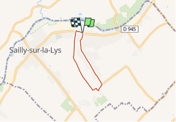

9,1 km | 9,7 km-effort

Tous les sentiers balisés d’Europe GUIDE+


Gratisgps-wandelapplicatie
 SityTrail
IGN / Geografische instituten
SityTrail World
De wereld gaat voor u open
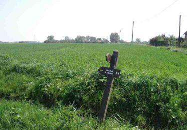
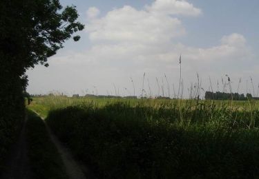
Tocht Te voet van 3,6 km beschikbaar op Hauts-de-France, Pas-de-Calais, Sailly-sur-la-Lys. Deze tocht wordt voorgesteld door SityTrail - itinéraires balisés pédestres.
Website: https://www.sailly.info/decouvrir-sailly/promenades-saillysiennes/chemins-de-randonnee/


Te voet
Te voet

Stappen
Stappen

Stappen

Mountainbike
Stappen
Stappen
Stappen