


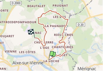

17 km | 21 km-effort


Tous les sentiers balisés d’Europe GUIDE+


Gratisgps-wandelapplicatie
 SityTrail
IGN / Geografische instituten
SityTrail World
De wereld gaat voor u open
Tocht Te voet van 7,1 km beschikbaar op Nieuw-Aquitanië, Haute-Vienne, Aixe-sur-Vienne. Deze tocht wordt voorgesteld door SityTrail - itinéraires balisés pédestres.
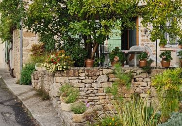
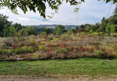
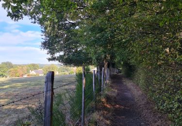
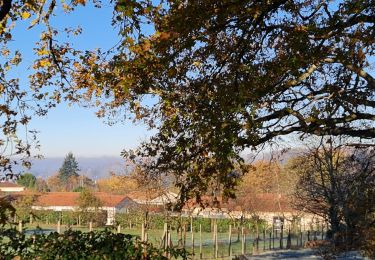
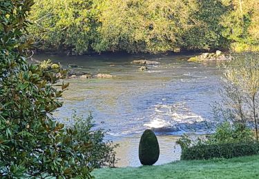
Le "circuit des puys et vallées en pays d'Aixe" vous emmène sur les rives de la Vienne et à la rencontre d'un riche patrimoine architectural. A voir la chapelle d'Arliquet et le château de l'Osmon
Website: http://www.tourisme-hautevienne.com/activites-de-plein-air/activites-terrestres/sentiers-de-randonnee/circuit-puys-et-vallees-en-pays-d-aixe-1209

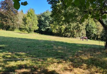
Paard
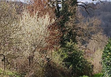
Stappen
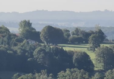
Stappen
Stappen
Stappen
Stappen
Stappen