2,4 km | 2,6 km-effort
Les Voyeuls
SityTrail - itinéraires balisés pédestres
Tous les sentiers balisés d’Europe GUIDE+
Lengte
4,5 km
Max. hoogte
13 m
Positief hoogteverschil
20 m
Km-Effort
4,8 km
Min. hoogte
3 m
Negatief hoogteverschil
21 m
Boucle
Ja
Markering
Datum van aanmaak :
2022-02-15 14:34:33.173
Laatste wijziging :
2022-03-02 16:21:44.975
1h05
Moeilijkheid : Gemakkelijk
Gratisgps-wandelapplicatie
Over ons
Tocht Te voet van 4,5 km beschikbaar op Hauts-de-France, Somme, Fontaine-sur-Somme. Deze tocht wordt voorgesteld door SityTrail - itinéraires balisés pédestres.
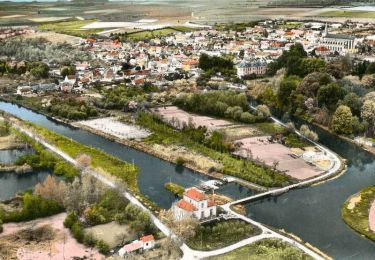
Plaatsbepaling
Land:
France
Regio :
Hauts-de-France
Departement/Provincie :
Somme
Gemeente :
Fontaine-sur-Somme
Locatie:
Unknown
Vertrek:(Dec)
Vertrek:(UTM)
423734 ; 5543518 (31U) N.
Opmerkingen
Wandeltochten in de omgeving
L'écluse et la centrale hydroélectrique - Long
Stappen
Gemakkelijk
(1)
Long,
Hauts-de-France,
Somme,
France
30min
Ja
long bleue 9km
Stappen
Medium
Long,
Hauts-de-France,
Somme,
France
9,4 km | 10,2 km-effort
2h 3min
Neen
Le Moulin d'Eaucourt
Te voet
Gemakkelijk
Eaucourt-sur-Somme,
Hauts-de-France,
Somme,
France
5,8 km | 7,3 km-effort
1h 39min
Ja
Le Circuit des Cours d'Eau
Te voet
Gemakkelijk
Longpré-les-Corps-Saints,
Hauts-de-France,
Somme,
France
4,9 km | 5,2 km-effort
1h 11min
Ja
Les Bords de Somme
Te voet
Gemakkelijk
Long,
Hauts-de-France,
Somme,
France
7,9 km | 8,4 km-effort
1h 54min
Ja
Les Hauts de Long
Te voet
Gemakkelijk
Fontaine-sur-Somme,
Hauts-de-France,
Somme,
France
9,1 km | 11 km-effort
2h 29min
Ja
le moulin d'Eaucourt
Stappen
Gemakkelijk
Eaucourt-sur-Somme,
Hauts-de-France,
Somme,
France
7,4 km | 9,1 km-effort
2h 23min
Ja
chemin de hallage et crête.
Stappen
Heel gemakkelijk
Pont-Remy,
Hauts-de-France,
Somme,
France
9,8 km | 11,6 km-effort
2h 34min
Ja
Une randonnée rythmée par les étangs.
Stappen
Heel gemakkelijk
Long,
Hauts-de-France,
Somme,
France
6,7 km | 7,1 km-effort
1h 53min
Neen