


7,8 km | 10,2 km-effort

Tous les sentiers balisés d’Europe GUIDE+


Gratisgps-wandelapplicatie
 SityTrail
IGN / Geografische instituten
SityTrail World
De wereld gaat voor u open
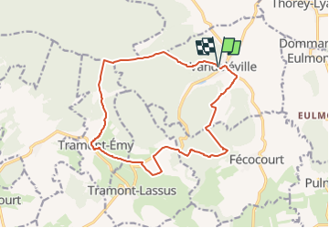
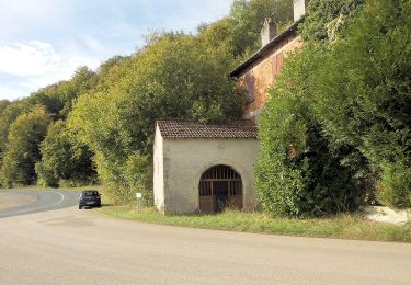
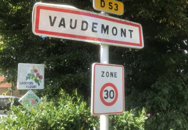
Tocht Te voet van 14,8 km beschikbaar op Grand Est, Meurthe-et-Moselle, Vandeléville. Deze tocht wordt voorgesteld door SityTrail - itinéraires balisés pédestres.
Trail created by Association intercommunale des Sentiers de la Mirabelle.


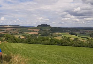
Te voet
Te voet
Te voet

Paardrijden
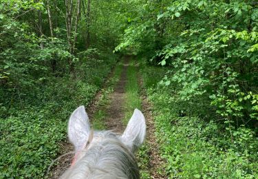
Paardrijden
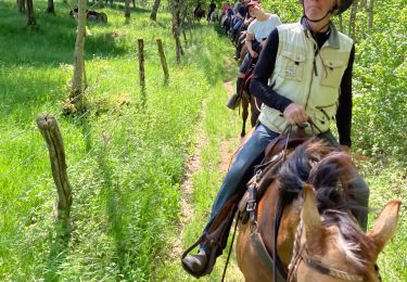
Paardrijden
Noords wandelen

sport

Paard