


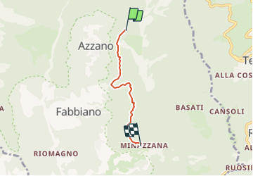

46 km | 80 km-effort


Tous les sentiers balisés d’Europe GUIDE+


Gratisgps-wandelapplicatie
 SityTrail
IGN / Geografische instituten
SityTrail World
De wereld gaat voor u open
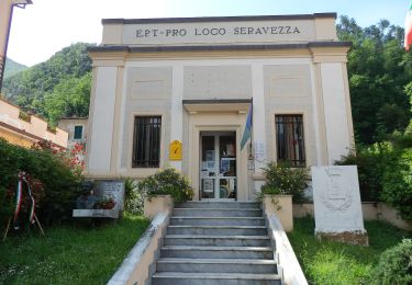
Tocht Te voet van 3,2 km beschikbaar op Toscane, Lucca, Seravezza. Deze tocht wordt voorgesteld door SityTrail - itinéraires balisés pédestres.
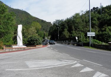
Vari sentieri indicati sul campo come varianti SAV, da differenziare se esistono ref delle diverse varianti
Te voet
Te voet
Te voet


Te voet
