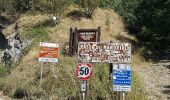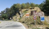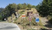

(SI L04N) Verghereto - Badia Prataglia
SityTrail - itinéraires balisés pédestres
Tous les sentiers balisés d’Europe GUIDE+

Lengte
16,6 km

Max. hoogte
1250 m

Positief hoogteverschil
880 m

Km-Effort
28 km

Min. hoogte
664 m

Negatief hoogteverschil
847 m
Boucle
Neen
Markering
Datum van aanmaak :
2022-02-15 13:22:50.241
Laatste wijziging :
2022-03-01 11:50:31.96
6h24
Moeilijkheid : Medium

Gratisgps-wandelapplicatie
Over ons
Tocht Te voet van 16,6 km beschikbaar op Emilia-Romagna, Forlì-Cesena, Verghereto. Deze tocht wordt voorgesteld door SityTrail - itinéraires balisés pédestres.
Beschrijving
Sentiero Italia CAI 2019
Plaatsbepaling
Land:
Italy
Regio :
Emilia-Romagna
Departement/Provincie :
Forlì-Cesena
Gemeente :
Verghereto
Locatie:
Unknown
Vertrek:(Dec)
Vertrek:(UTM)
258962 ; 4853260 (33T) N.
Opmerkingen
Wandeltochten in de omgeving
IT-167B


Te voet
Gemakkelijk
Bagno di Romagna,
Emilia-Romagna,
Forlì-Cesena,
Italy

3,1 km | 5,9 km-effort
1h 20min
Neen
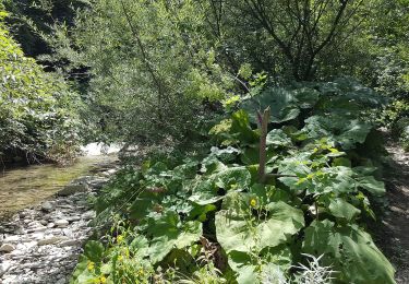
IT-161A


Te voet
Gemakkelijk
Bagno di Romagna,
Emilia-Romagna,
Forlì-Cesena,
Italy

4,1 km | 7,1 km-effort
1h 37min
Neen
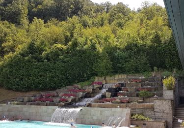
IT-BT11


Te voet
Gemakkelijk
Bagno di Romagna,
Emilia-Romagna,
Forlì-Cesena,
Italy

4 km | 8,6 km-effort
1h 56min
Neen
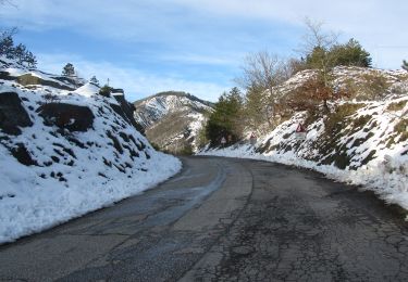
IT-141


Te voet
Gemakkelijk
Verghereto,
Emilia-Romagna,
Forlì-Cesena,
Italy

4,6 km | 7,5 km-effort
1h 42min
Neen
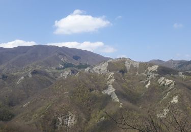
Un viaggio nel tempo e nello spazio nell’Alto Savio


Te voet
Gemakkelijk
Bagno di Romagna,
Emilia-Romagna,
Forlì-Cesena,
Italy

7,1 km | 13,2 km-effort
2h 59min
Neen
Sul Monte Carpano da Bagno di Romagna


Te voet
Gemakkelijk
Bagno di Romagna,
Emilia-Romagna,
Forlì-Cesena,
Italy

10,8 km | 18,7 km-effort
4h 14min
Ja

IT-169


Te voet
Gemakkelijk
Verghereto,
Emilia-Romagna,
Forlì-Cesena,
Italy

7,7 km | 12,3 km-effort
2h 48min
Neen

IT-153


Te voet
Gemakkelijk
Verghereto,
Emilia-Romagna,
Forlì-Cesena,
Italy

5,2 km | 7,4 km-effort
1h 40min
Neen
IT-102


Te voet
Gemakkelijk
Verghereto,
Emilia-Romagna,
Forlì-Cesena,
Italy

4,2 km | 6,5 km-effort
1h 28min
Neen


 SityTrail


