


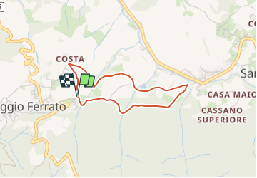

4 km | 6,2 km-effort

Tous les sentiers balisés d’Europe GUIDE+


Gratisgps-wandelapplicatie
 SityTrail
IGN / Geografische instituten
SityTrail World
De wereld gaat voor u open
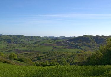
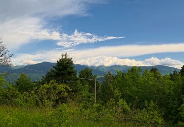
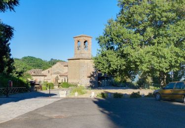
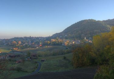
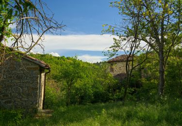
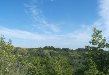
Tocht Te voet van 3,1 km beschikbaar op Lombardije, Pavia, Val di Nizza. Deze tocht wordt voorgesteld door SityTrail - itinéraires balisés pédestres.
Website: https://www.cmop.movimentolento.it/

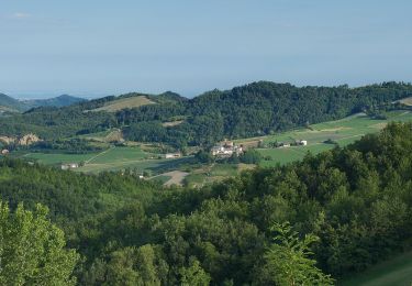
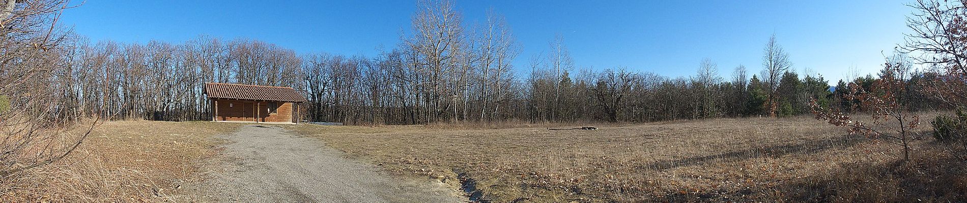
Te voet
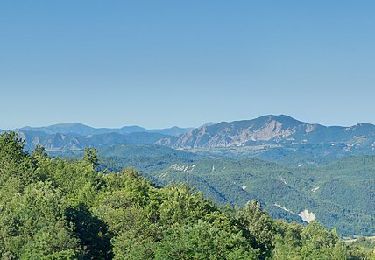
Te voet
Te voet
Te voet
Te voet

Te voet