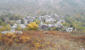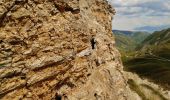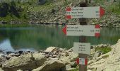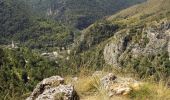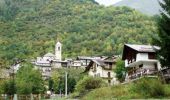

(SI E13) Sant'Anna di Vinadio - Vinadio Frazione Strepeis
SityTrail - itinéraires balisés pédestres
Tous les sentiers balisés d’Europe GUIDE+

Lengte
9,1 km

Max. hoogte
2299 m

Positief hoogteverschil
345 m

Km-Effort
16,1 km

Min. hoogte
1266 m

Negatief hoogteverschil
1082 m
Boucle
Neen
Markering
Datum van aanmaak :
2022-02-15 12:38:13.499
Laatste wijziging :
2022-03-01 10:22:17.734
3h40
Moeilijkheid : Gemakkelijk

Gratisgps-wandelapplicatie
Over ons
Tocht Te voet van 9,1 km beschikbaar op Piëmont, Cuneo, Vinadio. Deze tocht wordt voorgesteld door SityTrail - itinéraires balisés pédestres.
Beschrijving
Sentiero Italia CAI 2019
Plaatsbepaling
Land:
Italy
Regio :
Piëmont
Departement/Provincie :
Cuneo
Gemeente :
Vinadio
Locatie:
Unknown
Vertrek:(Dec)
Vertrek:(UTM)
348757 ; 4899310 (32T) N.
Opmerkingen
Wandeltochten in de omgeving
Tour du Lausfer


Te voet
Gemakkelijk
Vinadio,
Piëmont,
Cuneo,
Italy

9,5 km | 16,7 km-effort
3h 47min
Ja
Cime de la Lombarde 2800m 26.8.24


Stappen
Zeer moeilijk
Vinadio,
Piëmont,
Cuneo,
Italy

3,4 km | 9,1 km-effort
2h 30min
Ja

Tour du Lausfer 25.8.24


Stappen
Medium
Vinadio,
Piëmont,
Cuneo,
Italy

9 km | 16,2 km-effort
3h 30min
Ja
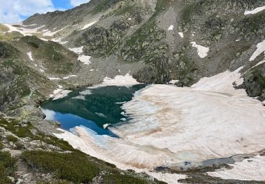
Lacs de laisser


sport
Heel gemakkelijk
Vinadio,
Piëmont,
Cuneo,
Italy

12,4 km | 21 km-effort
Onbekend
Ja

Mont St Sauveur


Sneeuwschoenen
Moeilijk
Isola,
Provence-Alpes-Côte d'Azur,
Alpes-Maritimes,
France

8,7 km | 20 km-effort
3h 52min
Ja

Lacs du Lausfer / pas de Ste Anne


Stappen
Gemakkelijk
Isola,
Provence-Alpes-Côte d'Azur,
Alpes-Maritimes,
France

9,7 km | 20 km-effort
3h 9min
Ja

Cime Moravachère Est


Stappen
Gemakkelijk
Isola,
Provence-Alpes-Côte d'Azur,
Alpes-Maritimes,
France

8,6 km | 12,2 km-effort
2h 32min
Ja
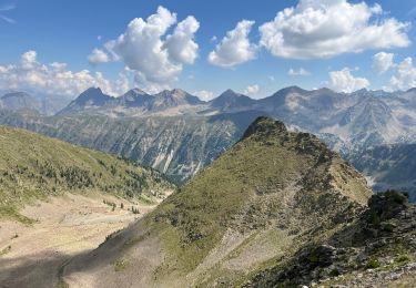
Cîme de Sistron


Stappen
Medium
Isola,
Provence-Alpes-Côte d'Azur,
Alpes-Maritimes,
France

10,2 km | 21 km-effort
3h 27min
Ja
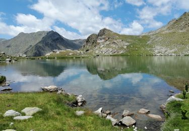
Cimes et lacs de Lausfer


Stappen
Moeilijk
Isola,
Provence-Alpes-Côte d'Azur,
Alpes-Maritimes,
France

10,8 km | 23 km-effort
6h 6min
Ja


 SityTrail


