


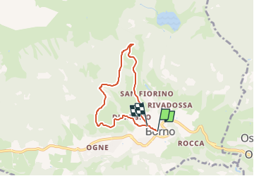

12,2 km | 16,5 km-effort

Tous les sentiers balisés d’Europe GUIDE+


Gratisgps-wandelapplicatie
 SityTrail
IGN / Geografische instituten
SityTrail World
De wereld gaat voor u open
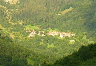
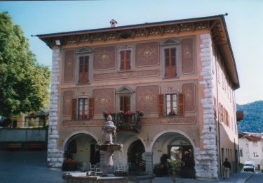
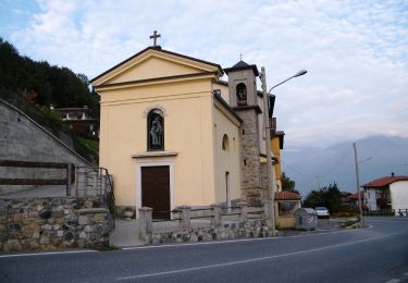
Tocht Te voet van 5,3 km beschikbaar op Lombardije, Brescia, Borno. Deze tocht wordt voorgesteld door SityTrail - itinéraires balisés pédestres.
Descrizione del percorso: Da Piazza Giovanni Paolo II percorrere via San Fermo sino alle frecce direzionali: scegliere la sinistra per Malga Zumella, via direttissima per monte San Fermo. Salire in via Duregno proseguendo sino al secondo bivio, a sinistra, con via Avendone su cui si prosegue. Dopo poco, la strada attraversa un rigagnolo e…
Website: https://corriintavola.wordpress.com/sentiero-degli-abeti-rossi/


Te voet
Te voet
Te voet
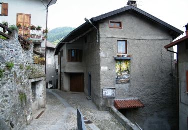
Te voet
Te voet
Te voet
Te voet
Te voet
Te voet