


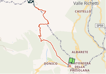

4 km | 7,2 km-effort

Tous les sentiers balisés d’Europe GUIDE+


Gratisgps-wandelapplicatie
 SityTrail
IGN / Geografische instituten
SityTrail World
De wereld gaat voor u open
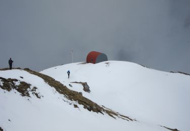
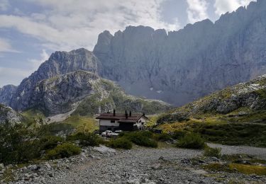
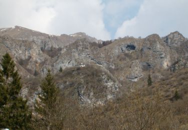
Tocht Te voet van 5,5 km beschikbaar op Lombardije, Bergamo, Colere. Deze tocht wordt voorgesteld door SityTrail - itinéraires balisés pédestres.
SENTIERO DELLE OROBIE (orientali)
Website: http://geoportale.caibergamo.it/it/sentiero/316


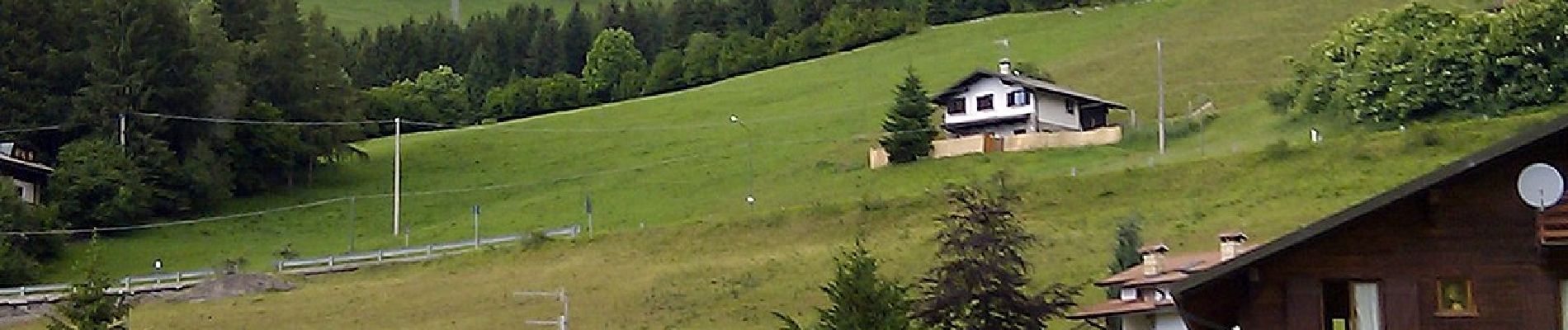
Te voet
Te voet

Te voet
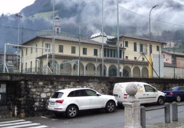
Te voet
Te voet

Te voet
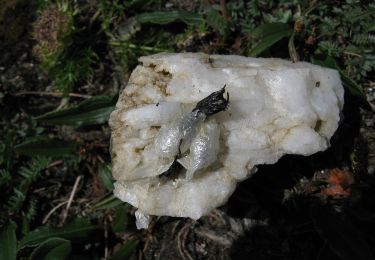
Te voet
Te voet