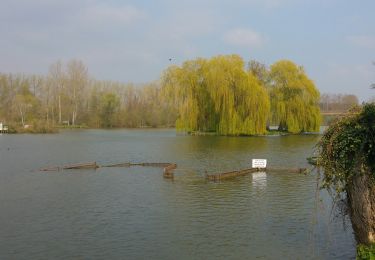
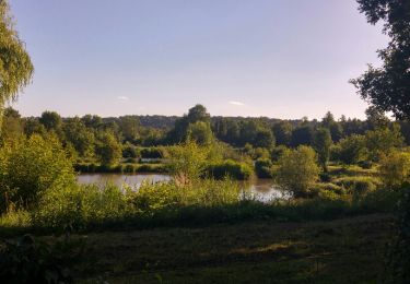
3,1 km | 3,4 km-effort
Bois Marières et vallée Malamain
SityTrail - itinéraires balisés pédestres
Tous les sentiers balisés d’Europe GUIDE+
Lengte
9,5 km
Max. hoogte
135 m
Positief hoogteverschil
146 m
Km-Effort
11,5 km
Min. hoogte
53 m
Negatief hoogteverschil
143 m
Boucle
Ja
Markering
Datum van aanmaak :
2022-02-15 11:41:25.881
Laatste wijziging :
2022-03-02 15:28:32.427
2h36
Moeilijkheid : Gemakkelijk
Gratisgps-wandelapplicatie
Over ons
Tocht Te voet van 9,5 km beschikbaar op Hauts-de-France, Somme, Cléry-sur-Somme. Deze tocht wordt voorgesteld door SityTrail - itinéraires balisés pédestres.
Plaatsbepaling
Land:
France
Regio :
Hauts-de-France
Departement/Provincie :
Somme
Gemeente :
Cléry-sur-Somme
Locatie:
Unknown
Vertrek:(Dec)
Vertrek:(UTM)
491698 ; 5533771 (31U) N.
Opmerkingen
Wandeltochten in de omgeving
tour des étangs de curlu
Stappen
Heel gemakkelijk
Curlu,
Hauts-de-France,
Somme,
France
10,5 km | 11,6 km-effort
2h 41min
Ja
Autour des étangs de Curlu et Feuillères
Stappen
Gemakkelijk
(1)
Curlu,
Hauts-de-France,
Somme,
France
11,6 km | 12,7 km-effort
3h 11min
Ja
Le chemin des Automitrailleuses - Curlu
Stappen
Medium
(1)
Curlu,
Hauts-de-France,
Somme,
France
11 km | 12 km-effort
3h 19min
Ja
De Péronne à Roisel
Fiets
Moeilijk
Péronne,
Hauts-de-France,
Somme,
France
46 km | 53 km-effort
3h 0min
Ja
Circuit de Biaches / Flaucourt
Stappen
Gemakkelijk
Biaches,
Hauts-de-France,
Somme,
France
12,9 km | 14,2 km-effort
3h 9min
Ja
germak
Mountainbike
Gemakkelijk
Péronne,
Hauts-de-France,
Somme,
France
37 km | 40 km-effort
2h 28min
Ja
historial
Mountainbike
Heel gemakkelijk
Péronne,
Hauts-de-France,
Somme,
France
55 km | 64 km-effort
3h 27min
Ja
footeuse
Mountainbike
Heel gemakkelijk
(1)
Péronne,
Hauts-de-France,
Somme,
France
26 km | 30 km-effort
2h 50min
Neen