


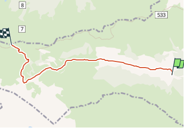

13,2 km | 20 km-effort

Tous les sentiers balisés d’Europe GUIDE+


Gratisgps-wandelapplicatie
 SityTrail
IGN / Geografische instituten
SityTrail World
De wereld gaat voor u open
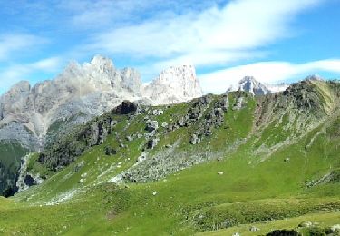
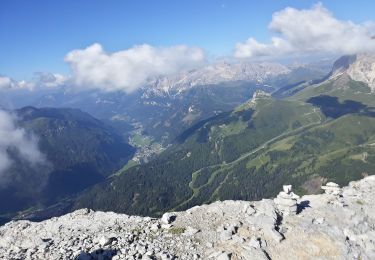
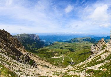
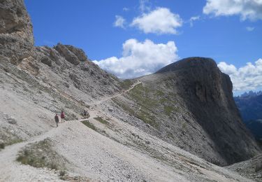
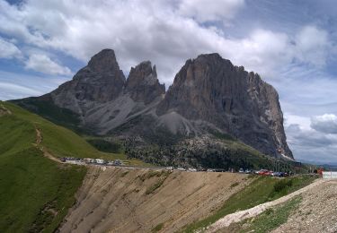
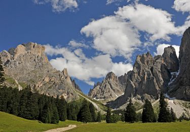
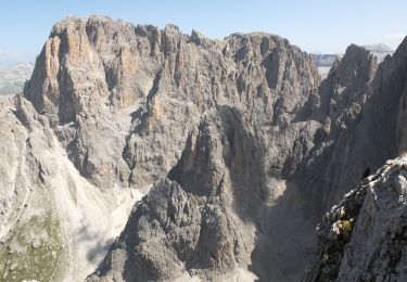
Tocht Te voet van 5,7 km beschikbaar op Trento-Zuid-Tirol, Provincia di Trento, Campitello di Fassa. Deze tocht wordt voorgesteld door SityTrail - itinéraires balisés pédestres.
Trail created by Società degli Alpinisti Tridentini.
Website: http://www.sat.tn.it/


Te voet
Te voet
Te voet
Te voet
Te voet
Te voet
Te voet
Te voet
Te voet