


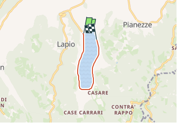

9,9 km | 14,3 km-effort


Tous les sentiers balisés d’Europe GUIDE+


Gratisgps-wandelapplicatie
 SityTrail
IGN / Geografische instituten
SityTrail World
De wereld gaat voor u open
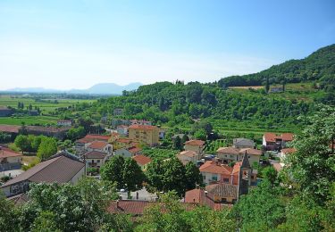
Tocht Te voet van 3,3 km beschikbaar op Veneto, Vicenza, Arcugnano. Deze tocht wordt voorgesteld door SityTrail - itinéraires balisés pédestres.
Get set up with a new domain name right away. Affordable payment plans to fit any budget. Friendly customer support.
Website: http://www.lagodifimon.com/percorsi


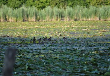
Te voet

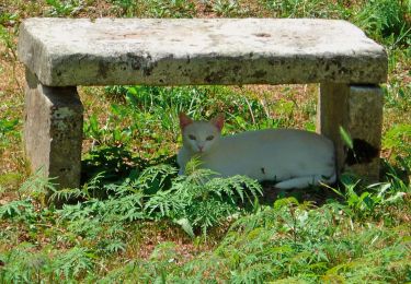
Te voet

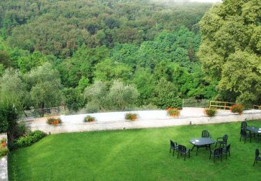
Te voet
Te voet

Te voet
Te voet
Te voet
Te voet
Te voet