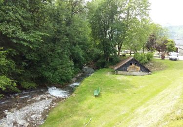
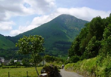
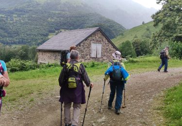
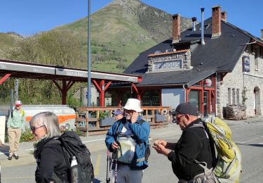
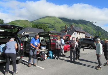
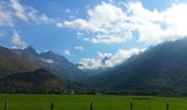
Tocht Te voet Osse-en-Aspe - Tour des Serres asp113 - Photo

Tous les sentiers balisés d’Europe GUIDE+

© OpenStreetMap contributors
Lengte
Lengte
15,4 km
Max. hoogte
Max. hoogte
1541 m
Positief hoogteverschil
1139 m
Km-Effort
Km-Effort  
30 km
Min. hoogte
Min. hoogte
444 m
Negatief hoogteverschil
835 m
Boucle
Boucle
Neen
Markering
Markering
Datum van aanmaak :
2022-02-15 06:43:20.288
Laatste wijziging :
2022-03-02 15:12:25.199

(0 Bericht)

Te voet
Te voet
6h43
Moeilijkheid : Medium

Scan deze QR-code om de tocht te openen in de SityTrail-applicatie

Gratisgps-wandelapplicatie

Logo SityTrail SityTrail

IGN / Geografische instituten

SityTrail uit de App Store downloaden SityTrail uit Google Play downloaden

Logo SityTrail SityTrail World

De wereld gaat voor u open

SityTrail uit de App Store downloaden SityTrail uit Google Play downloaden SityTrail op Huawei AppGallery downloaden

Over ons

Tocht Te voet van 15,4 km beschikbaar op Nieuw-Aquitanië, Pyrénées-Atlantiques, Osse-en-Aspe. Deze tocht wordt voorgesteld door SityTrail - itinéraires balisés pédestres.

Beschrijving

Trail created by Commune d'Osse-en-Aspe.

Randonnée difficile 8h40 semi-boucle

Symbol: bar


Website: https://umap.openstreetmap.fr/fr/map/sentiers-de-la-vallee-daspe_163874#14/43.0119/-0.6185

Hoogteprofiel

Foto's

Plaatsbepaling

Land:
France
Regio :
Nieuw-Aquitanië
Departement/Provincie :
Pyrénées-Atlantiques
Gemeente :
Osse-en-Aspe
Locatie:
Unknown
Vertrek:(UTM)
694247 ; 4763024 (30T) N.

Wandeltochten in de omgeving

Tocht Stappen Bedous - Le Tour de Saudious - Photo
Stappen
tracegps

Stappen

Medium
(1)
Bedous, Nieuw-Aquitanië, Pyrénées-Atlantiques, France
6 km | 8,7 km-effort
1h 30min
Ja
Tocht Stappen Bedous - BEDOUS le tour du Pouey autrement
Stappen
GUIDE
marmotte65

Stappen

Moeilijk
Bedous, Nieuw-Aquitanië, Pyrénées-Atlantiques, France
9 km | 13,4 km-effort
3h 2min
Ja
Tocht Te voet Bedous - BEDOUS les chemins du gaves G4
Te voet
GUIDE
marmotte65

Te voet

Gemakkelijk
Bedous, Nieuw-Aquitanië, Pyrénées-Atlantiques, France
11,2 km | 12,9 km-effort
2h 55min
Ja
Tocht Te voet Bedous - BEDOUS Le tour du Bugala par Osse en Aspe - Photo
Te voet
GUIDE
marmotte65

Te voet

Gemakkelijk
Bedous, Nieuw-Aquitanië, Pyrénées-Atlantiques, France
11,6 km | 16,8 km-effort
3h 56min
Ja
Tocht Te voet Accous - Sommet du Poey asp122 - Photo
Te voet
GUIDE+

Te voet

Gemakkelijk
Accous, Nieuw-Aquitanië, Pyrénées-Atlantiques, France
3,5 km | 5,7 km-effort
1h 17min
Ja
Tocht Te voet Osse-en-Aspe - Tour panoramique Osse-Athas asp109 - Photo
Te voet
GUIDE+

Te voet

Gemakkelijk
Osse-en-Aspe, Nieuw-Aquitanië, Pyrénées-Atlantiques, France
8,3 km | 12,1 km-effort
2h 44min
Neen
Tocht Te voet Bedous - Trail de Bergout asp24 - Photo
Te voet
GUIDE+

Te voet

Medium
Bedous, Nieuw-Aquitanië, Pyrénées-Atlantiques, France
10,1 km | 20 km-effort
4h 36min
Ja
Tocht Te voet Bedous - Chemins du Gave asp12 - Photo
Te voet
GUIDE+

Te voet

Gemakkelijk
Bedous, Nieuw-Aquitanië, Pyrénées-Atlantiques, France
11,2 km | 12,9 km-effort
2h 56min
Ja
Tocht Te voet Bedous - Trail d'Ourdinse asp18 - Photo
Te voet
GUIDE+

Te voet

Zeer moeilijk
Bedous, Nieuw-Aquitanië, Pyrénées-Atlantiques, France
27 km | 55 km-effort
12h 34min
Neen


Sluiten
Mijn abonnementen