


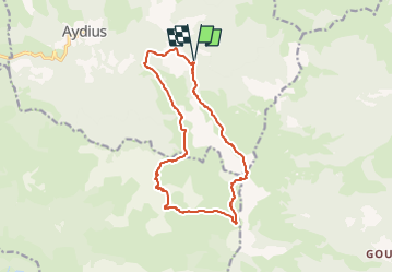

13,7 km | 27 km-effort


Tous les sentiers balisés d’Europe GUIDE+


Gratisgps-wandelapplicatie
 SityTrail
IGN / Geografische instituten
SityTrail World
De wereld gaat voor u open
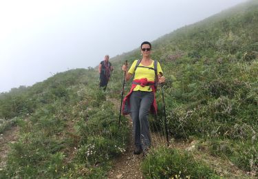
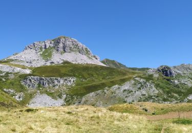
Tocht Te voet van 14,9 km beschikbaar op Nieuw-Aquitanië, Pyrénées-Atlantiques, Aydius. Deze tocht wordt voorgesteld door SityTrail - itinéraires balisés pédestres.
Trail created by Commune d'Aydius.
Randonnée très difficile 8h00 boucle
Symbol: bar
Website: https://www.aydius.com/grand-tour-montagnon

Stappen
Te voet
Te voet
Te voet
Stappen
Te voet

Stappen
Stappen
Stappen