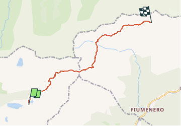

5,7 km | 11,2 km-effort

Tous les sentiers balisés d’Europe GUIDE+


Gratisgps-wandelapplicatie
 SityTrail
IGN / Geografische instituten
SityTrail World
De wereld gaat voor u open
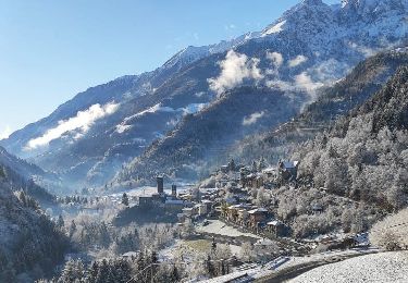
Tocht Te voet van 10,5 km beschikbaar op Lombardije, Bergamo, Carona. Deze tocht wordt voorgesteld door SityTrail - itinéraires balisés pédestres.
Sentiero Italia CAI 2019
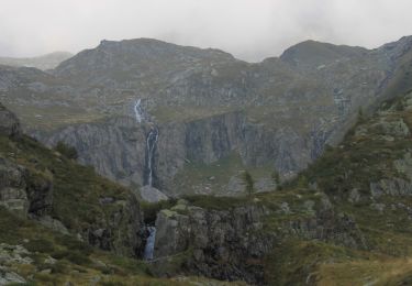
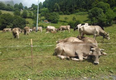
 Rifugio Fratelli Calvi - Rifugio Antonio Baroni al Brunone - Photo 1")
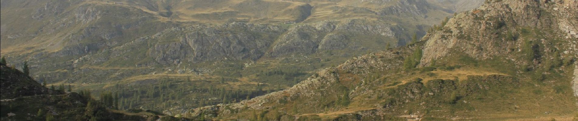
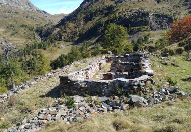
 Rifugio Fratelli Calvi - Rifugio Antonio Baroni al Brunone - Photo 2")
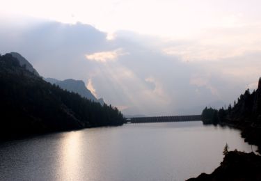
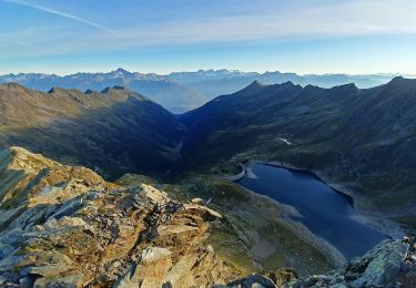
 Rifugio Fratelli Calvi - Rifugio Antonio Baroni al Brunone - Photo 3")
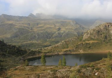
 Rifugio Fratelli Calvi - Rifugio Antonio Baroni al Brunone - Photo 4")
 Rifugio Fratelli Calvi - Rifugio Antonio Baroni al Brunone - Photo 5")
Te voet
Te voet
Te voet
Te voet
Te voet