


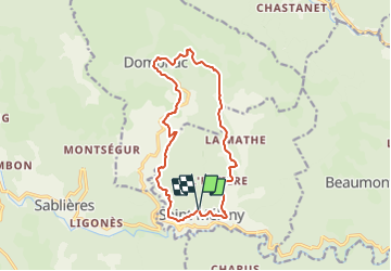

21 km | 34 km-effort


Tous les sentiers balisés d’Europe GUIDE+


Gratisgps-wandelapplicatie
 SityTrail
IGN / Geografische instituten
SityTrail World
De wereld gaat voor u open
Tocht Te voet van 14,3 km beschikbaar op Auvergne-Rhône-Alpes, Ardèche, Saint-Mélany. Deze tocht wordt voorgesteld door SityTrail - itinéraires balisés pédestres.
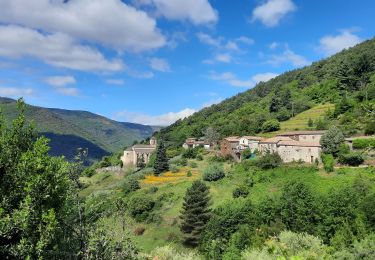
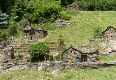
Vers l’émergence d'une vallée culturelle : des habitants de la vallée de la Drobie en ardèche ont décidé de réfléchir au devenir de leur cadre de vie…
Website: http://surlesentierdeslauzes.fr/


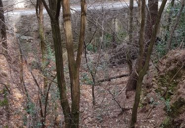
Stappen
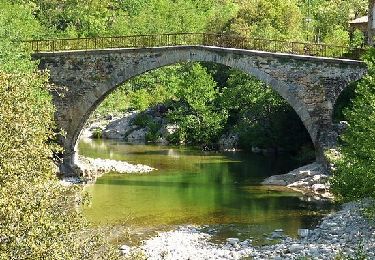
Stappen
Stappen
Stappen
Stappen
Stappen
Stappen
Stappen
Stappen