


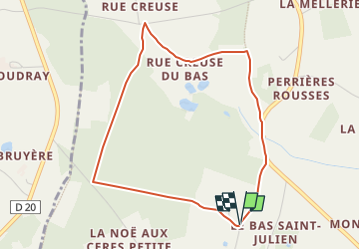

8,8 km | 10,9 km-effort


Tous les sentiers balisés d’Europe GUIDE+


Gratisgps-wandelapplicatie
 SityTrail
IGN / Geografische instituten
SityTrail World
De wereld gaat voor u open
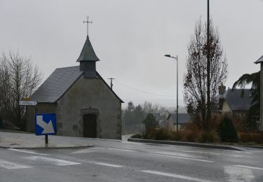
Tocht Te voet van 4 km beschikbaar op Pays de la Loire, Mayenne, Pré-en-Pail-Saint-Samson. Deze tocht wordt voorgesteld door SityTrail - itinéraires balisés pédestres.
Website: http://www.cc-montdesavaloirs.fr/
Te voet

Te voet
Te voet
Te voet
Te voet
Te voet
Te voet
Te voet
Stappen