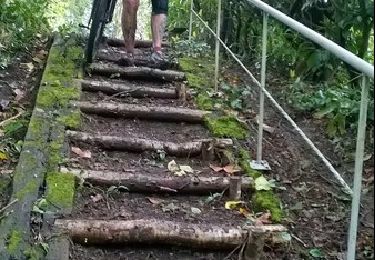
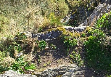
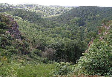
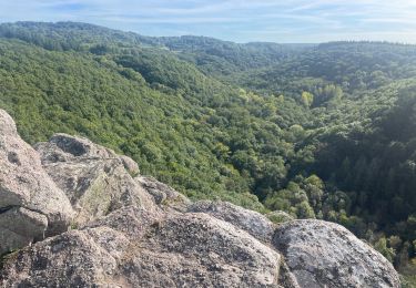
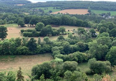
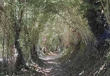
Tocht Te voet Rapilly - Circuit de la Vallée de la Baize - Photo

Circuit de la Vallée de la Baize

Tous les sentiers balisés d’Europe GUIDE+

© OpenStreetMap contributors
Lengte
Lengte
7,3 km
Max. hoogte
Max. hoogte
210 m
Positief hoogteverschil
168 m
Km-Effort
Km-Effort  
9,5 km
Min. hoogte
Min. hoogte
65 m
Negatief hoogteverschil
169 m
Boucle
Boucle
Ja
Markering
Markering
Datum van aanmaak :
2022-02-15 04:31:38.388
Laatste wijziging :
2022-03-02 12:39:24.185

(1 Bericht)

Te voet
Te voet
2h09
Moeilijkheid : Gemakkelijk

Scan deze QR-code om de tocht te openen in de SityTrail-applicatie

Gratisgps-wandelapplicatie

Logo SityTrail SityTrail

IGN / Geografische instituten

SityTrail uit de App Store downloaden SityTrail uit Google Play downloaden

Logo SityTrail SityTrail World

De wereld gaat voor u open

SityTrail uit de App Store downloaden SityTrail uit Google Play downloaden SityTrail op Huawei AppGallery downloaden

Over ons

Tocht Te voet van 7,3 km beschikbaar op Normandië, Calvados, Rapilly. Deze tocht wordt voorgesteld door SityTrail - itinéraires balisés pédestres.

Hoogteprofiel

Plaatsbepaling

Land:
France
Regio :
Normandië
Departement/Provincie :
Calvados
Gemeente :
Rapilly
Locatie:
Unknown
Vertrek:(UTM)
693361 ; 5414398 (30U) N.

Opmerkingen

Gelieve in te loggen om een commentaar of een beoordeling achter te laten


Wandeltochten in de omgeving

Tocht Mountainbike Pont-d'Ouilly - La Petite Suisse Normande 2014 - Pont-d'Ouilly - Photo
Mountainbike
tracegps

Mountainbike

Moeilijk
(1)
Pont-d'Ouilly, Normandië, Calvados, France
41 km | 54 km-effort
3h 30min
Ja
Tocht Stappen Saint-Philbert-sur-Orne - Autour des roches d'oetre - Photo
Stappen
phi14

Stappen

Gemakkelijk
(3)
Saint-Philbert-sur-Orne, Normandië, Orne, France
9,7 km | 12,4 km-effort
2h 30min
Ja
Tocht Stappen Athis-Val-de-Rouvre - Rando botanique  - Ségrie Fontaine  - Photo
Stappen
tracegps

Stappen

Medium
(2)
Athis-Val-de-Rouvre, Normandië, Orne, France
10,4 km | 13,4 km-effort
3h 40min
Ja
Tocht Stappen Saint-Philbert-sur-Orne - Roche d’oëtre sentier du Granite - Photo
Stappen
zefreefly

Stappen

Heel gemakkelijk
Saint-Philbert-sur-Orne, Normandië, Orne, France
10,1 km | 12,7 km-effort
2h 43min
Ja
Tocht Stappen Saint-Philbert-sur-Orne - Circuit des méandres  - Photo
Stappen
JLPIERSON

Stappen

Medium
Saint-Philbert-sur-Orne, Normandië, Orne, France
6,4 km | 8,4 km-effort
1h 54min
Ja
Tocht Stappen Ménil-Hubert-sur-Orne - De Rouvroy aux Roches d'Oetre par le sentier des Méandres  - Photo
Stappen
Ecureuiltrailer

Stappen

Medium
Ménil-Hubert-sur-Orne, Normandië, Orne, France
7,1 km | 9,3 km-effort
2h 1min
Ja
Tocht Te voet Athis-Val-de-Rouvre - Les Fontaines - Photo
Te voet
GUIDE+

Te voet

Gemakkelijk
(1)
Athis-Val-de-Rouvre, Normandië, Orne, France
5,7 km | 7,3 km-effort
1h 38min
Ja
Tocht Te voet Athis-Val-de-Rouvre - Sentier du granite - Photo
Te voet
GUIDE+

Te voet

Gemakkelijk
(1)
Athis-Val-de-Rouvre, Normandië, Orne, France
8,6 km | 11 km-effort
2h 30min
Ja
Tocht Te voet Saint-Philbert-sur-Orne - Entre Orne et Rouvre - Photo
Te voet
GUIDE+

Te voet

Gemakkelijk
Saint-Philbert-sur-Orne, Normandië, Orne, France
7,7 km | 10,3 km-effort
2h 19min
Ja


Sluiten
Mijn abonnementen